Fontaine-lès-Hermans
Fontaine-lès-Hermans is a commune in the Pas-de-Calais department in the Hauts-de-France region of France.
Fontaine-lès-Hermans | |
|---|---|
The town hall of Fontaine-lès-Hermans | |
 Coat of arms | |
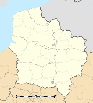
Location of Fontaine-lès-Hermans 
| |
 Fontaine-lès-Hermans  Fontaine-lès-Hermans | |
| Coordinates: 50°31′38″N 2°21′00″E | |
| Country | France |
| Region | Hauts-de-France |
| Department | Pas-de-Calais |
| Arrondissement | Arras |
| Canton | Saint-Pol-sur-Ternoise |
| Intercommunality | CC Ternois |
| Government | |
| • Mayor (2008–2014) | Grégoire Boutillier |
| Area 1 | 3.8 km2 (1.5 sq mi) |
| Population (2017-01-01)[1] | 108 |
| • Density | 28/km2 (74/sq mi) |
| Time zone | UTC+01:00 (CET) |
| • Summer (DST) | UTC+02:00 (CEST) |
| INSEE/Postal code | 62344 /62550 |
| Elevation | 99–189 m (325–620 ft) (avg. 110 m or 360 ft) |
| 1 French Land Register data, which excludes lakes, ponds, glaciers > 1 km2 (0.386 sq mi or 247 acres) and river estuaries. | |
The inhabitants of the commune of Fontaine-lès-Hermans are referred to as "Hermanifontains or Hermanifontaines (males or females)."[2]
Geography
The commune is a small farming village situated 27 miles (43.5 km) northwest of Arras, on the D69 road. The largest nearby city is Bruay Buissière, which is located 15 km southeast of the commune. It is surrounded by the common Nédonchel, Westrehem and fiefs.[3]
Population
| Year | 1962 | 1968 | 1975 | 1982 | 1990 | 1999 |
|---|---|---|---|---|---|---|
| Population | 86 | 109 | 96 | 84 | 112 | 101 |
| From the year 1962 on: No double counting—residents of multiple communes (e.g. students and military personnel) are counted only once. | ||||||
Places of interest
- St. Clement Church, which dates from the seventeenth century
References
- "Populations légales 2017". INSEE. Retrieved 6 January 2020.
- "Communes"
- "Annuaire-Mairie"
| Wikimedia Commons has media related to Fontaine-lès-Hermans. |
This article is issued from Wikipedia. The text is licensed under Creative Commons - Attribution - Sharealike. Additional terms may apply for the media files.