Bermicourt
Bermicourt is a commune in the Pas-de-Calais department in the Hauts-de-France region in northern France.
Bermicourt | |
|---|---|
 Chateau de Bermicourt | |
 Coat of arms | |
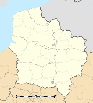
Location of Bermicourt 
| |
 Bermicourt  Bermicourt | |
| Coordinates: 50°24′35″N 2°13′51″E | |
| Country | France |
| Region | Hauts-de-France |
| Department | Pas-de-Calais |
| Arrondissement | Arras |
| Canton | Saint-Pol-sur-Ternoise |
| Intercommunality | Communauté de communes du Ternois |
| Government | |
| • Mayor (2014-2020) | Gérard Hernu |
| Area 1 | 5.53 km2 (2.14 sq mi) |
| Population (2017-01-01)[1] | 165 |
| • Density | 30/km2 (77/sq mi) |
| Time zone | UTC+01:00 (CET) |
| • Summer (DST) | UTC+02:00 (CEST) |
| INSEE/Postal code | 62114 /62130 |
| Elevation | 95–142 m (312–466 ft) (avg. 135 m or 443 ft) |
| 1 French Land Register data, which excludes lakes, ponds, glaciers > 1 km2 (0.386 sq mi or 247 acres) and river estuaries. | |
Geography
A small farming village located 28 miles (47 km) northwest of Arras on the D98 road.
History
On 15 September 1916, during the First World War, shortly before Haig's attack on Flers, the British Tank Corps, equipped with its new 'secret weapon', the tank, and commanded by General Hugh Elles set up its headquarters at Chateau de Bermicourt. At that time the chateau belonged to Count Jean de Hauteclocque. The headquarters remained stationed there until the end of the war.[2]
Population
| Historical population | ||
|---|---|---|
| Year | Pop. | ±% |
| 1962 | 153 | — |
| 1968 | 159 | +3.9% |
| 1975 | 146 | −8.2% |
| 1982 | 143 | −2.1% |
| 1990 | 127 | −11.2% |
| 1999 | 128 | +0.8% |
| 2006 | 149 | +16.4% |
| 2007 | 152 | +2.0% |
| 2009 | 156 | +2.6% |
| 2012 | 153 | −1.9% |
| 2015 | 158 | +3.3% |
Sights
- The church of Notre-Dame, dating from the sixteenth century.
- The château.
References
- "Populations légales 2017". INSEE. Retrieved 6 January 2020.
- The Tank Corps Memorial in Bermicourt at www.ternois-tourisme.com. Retrieved 18 Mar 2016.
External links
| Wikimedia Commons has media related to Bermicourt. |
- Hotel - Restaurant at Bermicourt (in French)
This article is issued from Wikipedia. The text is licensed under Creative Commons - Attribution - Sharealike. Additional terms may apply for the media files.