Saint-Jouin
| Saint-Jouin | |
|---|---|
| Commune | |
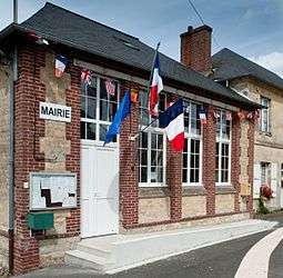 The town hall in Saint-Jouin | |
 Saint-Jouin Location within Normandy region  Saint-Jouin | |
| Coordinates: 49°12′37″N 0°00′47″W / 49.2103°N 0.0131°WCoordinates: 49°12′37″N 0°00′47″W / 49.2103°N 0.0131°W | |
| Country | France |
| Region | Normandy |
| Department | Calvados |
| Arrondissement | Lisieux |
| Canton | Cabourg |
| Intercommunality | Pays d'Auge dozuléen |
| Government | |
| • Mayor (2008–2014) | Roland Journet |
| Area1 | 5.03 km2 (1.94 sq mi) |
| Population (2008)2 | 206 |
| • Density | 41/km2 (110/sq mi) |
| Time zone | UTC+1 (CET) |
| • Summer (DST) | UTC+2 (CEST) |
| INSEE/Postal code | 14598 /14430 |
| Elevation |
30–140 m (98–459 ft) (avg. 145 m or 476 ft) |
|
1 French Land Register data, which excludes lakes, ponds, glaciers > 1 km2 (0.386 sq mi or 247 acres) and river estuaries. 2 Population without double counting: residents of multiple communes (e.g., students and military personnel) only counted once. | |
Saint-Jouin is a commune in the Calvados department in the Normandy region in northwestern France.
Population
| Historical population | ||
|---|---|---|
| Year | Pop. | ±% |
| 1962 | 183 | — |
| 1968 | 168 | −8.2% |
| 1975 | 126 | −25.0% |
| 1982 | 130 | +3.2% |
| 1990 | 151 | +16.2% |
| 1999 | 196 | +29.8% |
| 2008 | 206 | +5.1% |
See also
References
| Wikimedia Commons has media related to Saint-Jouin. |
This article is issued from
Wikipedia.
The text is licensed under Creative Commons - Attribution - Sharealike.
Additional terms may apply for the media files.