Arrouède
| Arrouède | |
|---|---|
| Commune | |
 The main road the D128 | |
 Arrouède Location within Occitanie region  Arrouède | |
| Coordinates: 43°21′38″N 0°35′13″E / 43.3606°N 0.5869°ECoordinates: 43°21′38″N 0°35′13″E / 43.3606°N 0.5869°E | |
| Country | France |
| Region | Occitanie |
| Department | Gers |
| Arrondissement | Mirande |
| Canton | Astarac-Gimone |
| Intercommunality | CC Val Gers |
| Government | |
| • Mayor (2014-2020) | Michel Ducos |
| Area1 | 6.33 km2 (2.44 sq mi) |
| Population (2015)2 | 104 |
| • Density | 16/km2 (43/sq mi) |
| Time zone | UTC+1 (CET) |
| • Summer (DST) | UTC+2 (CEST) |
| INSEE/Postal code | 32010 /32140 |
| Elevation |
222–327 m (728–1,073 ft) (avg. 321 m or 1,053 ft) |
|
1 French Land Register data, which excludes lakes, ponds, glaciers > 1 km2 (0.386 sq mi or 247 acres) and river estuaries. 2 Population without double counting: residents of multiple communes (e.g., students and military personnel) only counted once. | |
Arrouède is a commune in the Gers department in southwestern France.
Geography
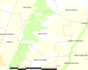
Arrouède and its surrounding communes
Population
| Historical population | ||
|---|---|---|
| Year | Pop. | ±% |
| 1836 | 380 | — |
| 1962 | 108 | −71.6% |
| 1968 | 94 | −13.0% |
| 1975 | 81 | −13.8% |
| 1982 | 77 | −4.9% |
| 1990 | 70 | −9.1% |
| 1999 | 78 | +11.4% |
| 2008 | 84 | +7.7% |
| 2015 | 104 | +23.8% |
See also
References
| Wikimedia Commons has media related to Arrouède. |
This article is issued from
Wikipedia.
The text is licensed under Creative Commons - Attribution - Sharealike.
Additional terms may apply for the media files.