Mascoutah Township, St. Clair County, Illinois
| Mascoutah Township | |
|---|---|
| Township | |
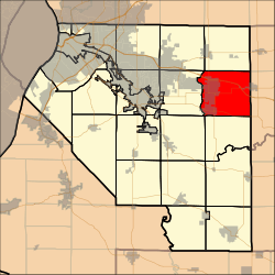 Location in St. Clair County | |
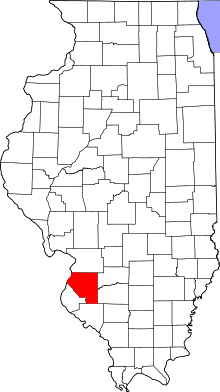 St. Clair County's location in Illinois | |
| Country | United States |
| State | Illinois |
| County | St. Clair |
| Established | November 6, 1883 |
| Area | |
| • Total | 39.33 sq mi (101.9 km2) |
| • Land | 39.09 sq mi (101.2 km2) |
| • Water | 0.24 sq mi (0.6 km2) 0.61% |
| Population (2010) | |
| • Estimate (2016)[1] | 8,633 |
| • Density | 210.2/sq mi (81.2/km2) |
| Time zone | UTC-6 (CST) |
| • Summer (DST) | UTC-5 (CDT) |
| FIPS code | 17-163-47436 |
Mascoutah Township is located in St. Clair County, Illinois. As of the 2010 census, its population was 8,217 and it contained 3,335 housing units.[2]
Geography
According to the 2010 census, the township has a total area of 39.33 square miles (101.9 km2), of which 39.09 square miles (101.2 km2) (or 99.39%) is land and 0.24 square miles (0.62 km2) (or 0.61%) is water.[2]
Demographics
| Historical population | |||
|---|---|---|---|
| Census | Pop. | %± | |
| Est. 2016 | 8,633 | [1] | |
| U.S. Decennial Census[3] | |||
References
- 1 2 "Population and Housing Unit Estimates". Retrieved June 9, 2017.
- 1 2 "Population, Housing Units, Area, and Density: 2010 - County -- County Subdivision and Place -- 2010 Census Summary File 1". United States Census. Retrieved 2013-05-28.
- ↑ "Census of Population and Housing". Census.gov. Retrieved June 4, 2016.
External links
Municipalities and communities of St. Clair County, Illinois, United States | ||
|---|---|---|
| Cities | ||
| Villages | ||
| Townships | ||
| CDPs | ||
| Other unincorporated communities | ||
| Footnotes | ‡This populated place also has portions in an adjacent county or counties | |

Coordinates: 38°31′43″N 89°45′56″W / 38.52861°N 89.76556°W
This article is issued from
Wikipedia.
The text is licensed under Creative Commons - Attribution - Sharealike.
Additional terms may apply for the media files.