Princeville Township, Peoria County, Illinois
| Princeville Township | |
|---|---|
| Township | |
 Location in Peoria County | |
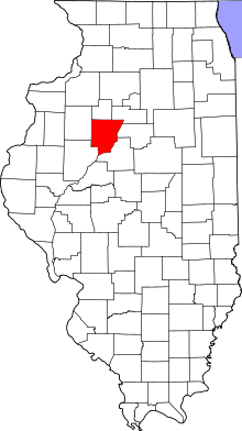 Peoria County's location in Illinois | |
| Country | United States |
| State | Illinois |
| County | Peoria |
| Established | November 6, 1849 |
| Area | |
| • Total | 36.35 sq mi (94.1 km2) |
| • Land | 36.33 sq mi (94.1 km2) |
| • Water | 0.01 sq mi (0.03 km2) 0.03% |
| Population (2010) | |
| • Estimate (2016)[1] | 1,601 |
| • Density | 44.8/sq mi (17.3/km2) |
| Time zone | UTC-6 (CST) |
| • Summer (DST) | UTC-5 (CDT) |
| FIPS code | 17-143-61938 |
Princeville Township is located in Peoria County, Illinois. As of the 2010 census, its population was 1,628 and it contained 674 housing units.[2] The township shares a border with Stark County to the North. It also borders Millbrook Township to the West, Akron Township to the East, and the Jubilee Township to the South.
Geography
According to the 2010 census, the township has a total area of 36.35 square miles (94.1 km2), of which 36.33 square miles (94.1 km2) (or 99.94%) is land and 0.01 square miles (0.026 km2) (or 0.03%) is water.[2]
Demographics
| Historical population | |||
|---|---|---|---|
| Census | Pop. | %± | |
| Est. 2016 | 1,601 | [1] | |
| U.S. Decennial Census[3] | |||
References
- 1 2 "Population and Housing Unit Estimates". Retrieved June 9, 2017.
- 1 2 "Population, Housing Units, Area, and Density: 2010 - County -- County Subdivision and Place -- 2010 Census Summary File 1". United States Census. Retrieved 2013-05-28.
- ↑ "Census of Population and Housing". Census.gov. Retrieved June 4, 2016.
External links
Municipalities and communities of Peoria County, Illinois, United States | ||
|---|---|---|
| Cities | ||
| Villages | ||
| Townships | ||
| CDPs | ||
| Other unincorporated communities |
| |
| Footnotes | ‡This populated place also has portions in an adjacent county or counties | |

Coordinates: 40°55′48″N 89°48′44″W / 40.93000°N 89.81222°W
This article is issued from
Wikipedia.
The text is licensed under Creative Commons - Attribution - Sharealike.
Additional terms may apply for the media files.