Cheney's Grove Township, McLean County, Illinois
| Cheney's Grove Township | |
|---|---|
| Township | |
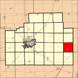 Location in McLean County | |
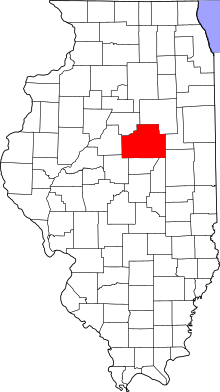 McLean County's location in Illinois | |
| Coordinates: 40°25′0″N 88°31′0″W / 40.41667°N 88.51667°W | |
| Country | United States |
| State | Illinois |
| County | McLean |
| Established | November 3, 1857 |
| Area | |
| • Total | 36.51 sq mi (94.6 km2) |
| • Land | 36.46 sq mi (94.4 km2) |
| • Water | 0.05 sq mi (0.1 km2) 0.14% |
| Population (2010) | |
| • Estimate (2016)[1] | 980 |
| • Density | 27.3/sq mi (10.5/km2) |
| Time zone | UTC-6 (CST) |
| • Summer (DST) | UTC-5 (CDT) |
| FIPS code | 17-113-12905 |
Cheney's Grove Township is located in McLean County, Illinois. As of the 2010 census, its population was 997 and it contained 454 housing units.[2]
Geography
According to the 2010 census, the township has a total area of 36.51 square miles (94.6 km2), of which 36.46 square miles (94.4 km2) (or 99.86%) is land and 0.05 square miles (0.13 km2) (or 0.14%) is water.[2]
Demographics
| Historical population | |||
|---|---|---|---|
| Census | Pop. | %± | |
| Est. 2016 | 980 | [1] | |
| U.S. Decennial Census[3] | |||
References
- 1 2 "Population and Housing Unit Estimates". Retrieved June 9, 2017.
- 1 2 "Population, Housing Units, Area, and Density: 2010 - County -- County Subdivision and Place -- 2010 Census Summary File 1". United States Census. Retrieved 2013-05-28.
- ↑ "Census of Population and Housing". Census.gov. Retrieved June 4, 2016.
External links
Municipalities and communities of McLean County, Illinois, United States | ||
|---|---|---|
| Cities | ||
| Town | ||
| Villages | ||
| Townships | ||
| CDP | ||
| Other unincorporated communities | ||
| Ghost towns | ||

This article is issued from
Wikipedia.
The text is licensed under Creative Commons - Attribution - Sharealike.
Additional terms may apply for the media files.