Panchkhapan
| Panchkhapan Municipality पाँचखप्पन नगरपालिका | |
|---|---|
| Municipality | |
 Panchkhapan Municipality Location in Province No. 1 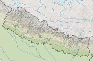 Panchkhapan Municipality Panchkhapan Municipality (Nepal) | |
| Coordinates: 27°20′N 87°18′E / 27.33°N 87.30°ECoordinates: 27°20′N 87°18′E / 27.33°N 87.30°E | |
| Country |
|
| Province | Province No. 1 |
| District | Sankhuwasabha District |
| Government | |
| • Type | Mayor–council |
| • Body | Panchkhapan Municipality |
| • Mayor | Bipin Rai (NC) |
| • Deputy Mayor | Bhima Devi Rai (NCP) |
| Area of Municipality | |
| • Total | 148.03 km2 (57.15 sq mi) |
| Population (2011) | |
| • Total | 17,521 |
| Languages | |
| • Local | Nepali, Tamang, Newari |
| • Official | Nepali |
| Time zone | UTC+5:45 (NST) |
| Postal code | 56900 |
| Website | www.panchkhapanmun.gov.np/ |
Panchkhapan (Nepali: पाँचखप्पन) is an urban municipality out of five urban municipalities of Sankhuwasabha District in Province No. 1 of Nepal. It lies on 87°12'12" E to 87°26'45" E Longitude and 27°17'37.4" N to 27°24'38" N Latitude. The municipality was established on 3 March 2017 merging former VDCs: Syabun, Jaljala and Wana. The area of the municipality is 148.03KM2 and according to 2011 census of Nepal the population of the municipality is 17,521. [1] [2]
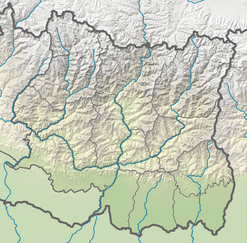
The municipality is surrounded by Taplejung District in east, Savapokhari in north, Khandbari in north-west and west and Chainpur in south.
References
- ↑ "Panchakhapan Municipality in Nepal Population". citypopulation.de. 8 October 2017. Retrieved 24 February 2018.
- ↑ "पाँचखपन नगरपालिकाकाे संक्षिप्त परिचय" [Short Introduction of Panchkhapan Municipality] (in Nepali). Mofald.gov.np. Retrieved 24 February 2018.
Headquarter: Khandbari | ||
| Rural Municipalities | 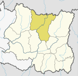 | |
| Municipalities | ||

This article is issued from
Wikipedia.
The text is licensed under Creative Commons - Attribution - Sharealike.
Additional terms may apply for the media files.