Hatuwagadhi
| Hatuwagadhi Gaunpalika हतुवागढी गाउँपालिका | |
|---|---|
| Rural Municipality | |
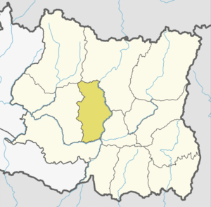
 Hatuwagadhi Gaunpalika Location in Province No. 1  Hatuwagadhi Gaunpalika Hatuwagadhi Gaunpalika (Nepal) | |
| Coordinates: 27°01′18″N 87°07′15″E / 27.021541°N 87.120856°ECoordinates: 27°01′18″N 87°07′15″E / 27.021541°N 87.120856°E | |
| Province | Province No. 1 |
| District | Bhojpur |
| Established | 10 March 2017 |
| Government | |
| • Type | Gaunpalika |
| • Chairperson | Mr.Prem Kumar Rai |
| • Vice-chairperson | Mrs.Chandrama Rai |
| Area | |
| • Total | 142.61 km2 (55.06 sq mi) |
| Elevation[1] | 1,540 m (5,050 ft) |
| Population (2011) | |
| • Total | 20,543 |
| • Density | 140/km2 (370/sq mi) |
| Time zone | UTC+5:45 (Nepal Standard Time) |
| Postal Code | 57000 |
| Headquarter | Ranibas, Ghodetar |
| Website | official website |
Hatuwagadhi (Nepali: हतुवागढी) is a rural municipality out of 7 rural municipalities of Bhojpur District of Province No. 1 of Nepal. There are a total of 9 municipalities in Bhojpur in which 2 are urban and 7 are rural.
Hatuwagadhi has an area of 142.61 square kilometres (55.06 sq mi) and the total population of the municipality is 20,543 as of Census of Nepal 2011.[1] [2]
Hatuwagadhi was known as Majh Kirant before the unification of Nepal by Shah Kings. It was capital of Kirat Kingdom. The ruins of the ancient capital and forts still exist at Hatuwagadhi.[3]
References
- 1 2 "हतुवागढ़ी गाउँपालिकाको वेबसाइटमा तपाईलाई स्वागत छ।".
- ↑ "Hatuwagadhi Rural Municipality in Nepal". www.citypopulation.de. 8 October 2017. Retrieved 9 March 2018.
- ↑ "Bhojpur district". www.bossnepal.com. Retrieved 9 March 2018.
External links
This article is issued from
Wikipedia.
The text is licensed under Creative Commons - Attribution - Sharealike.
Additional terms may apply for the media files.