Saint-Estèphe, Dordogne
| Saint-Estèphe | ||
|---|---|---|
| Commune | ||
 | ||
| ||
 Saint-Estèphe Location within Nouvelle-Aquitaine region  Saint-Estèphe | ||
| Coordinates: 45°35′33″N 0°39′48″E / 45.5925°N 0.6633°ECoordinates: 45°35′33″N 0°39′48″E / 45.5925°N 0.6633°E | ||
| Country | France | |
| Region | Nouvelle-Aquitaine | |
| Department | Dordogne | |
| Arrondissement | Nontron | |
| Canton | Périgord Vert Nontronnais | |
| Government | ||
| • Mayor (2008–2014) | Marc Veyssière | |
| Area1 | 21.37 km2 (8.25 sq mi) | |
| Population (2008)2 | 596 | |
| • Density | 28/km2 (72/sq mi) | |
| Time zone | UTC+1 (CET) | |
| • Summer (DST) | UTC+2 (CEST) | |
| INSEE/Postal code | 24398 /24360 | |
| Elevation | 177–300 m (581–984 ft) | |
|
1 French Land Register data, which excludes lakes, ponds, glaciers > 1 km2 (0.386 sq mi or 247 acres) and river estuaries. 2 Population without double counting: residents of multiple communes (e.g., students and military personnel) only counted once. | ||

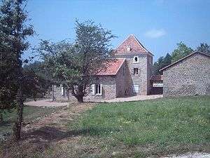
House in Le Briaudet at Saint Estephe
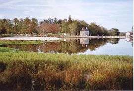
Saint-Estèphe is a commune in the Dordogne department in Nouvelle-Aquitaine in southwestern France.
Population
| Historical population | ||
|---|---|---|
| Year | Pop. | ±% |
| 1962 | 541 | — |
| 1968 | 643 | +18.9% |
| 1975 | 621 | −3.4% |
| 1982 | 612 | −1.4% |
| 1990 | 604 | −1.3% |
| 1999 | 619 | +2.5% |
| 2008 | 596 | −3.7% |
See also
References
External links
| Wikimedia Commons has media related to Saint-Estèphe (Dordogne). |
This article is issued from
Wikipedia.
The text is licensed under Creative Commons - Attribution - Sharealike.
Additional terms may apply for the media files.