Shihoro, Hokkaido
| Shihoro 士幌町 | |||
|---|---|---|---|
| Town | |||
 Shihoro town hall | |||
| |||
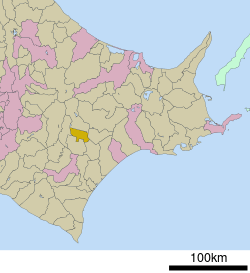 Location of Shihoro in Hokkaido (Tokachi Subprefecture) | |||
 Shihoro Location in Japan | |||
| Coordinates: 43°10′N 143°14′E / 43.167°N 143.233°ECoordinates: 43°10′N 143°14′E / 43.167°N 143.233°E | |||
| Country | Japan | ||
| Region | Hokkaido | ||
| Prefecture | Hokkaido (Tokachi Subprefecture) | ||
| District | Katō | ||
| Area | |||
| • Total | 259.13 km2 (100.05 sq mi) | ||
| Population (September 30, 2016) | |||
| • Total | 6,234 | ||
| • Density | 24/km2 (62/sq mi) | ||
| Time zone | UTC+9 (JST) | ||
| Website |
www | ||


Shihoro (士幌町 Shihoro-chō) is a town located in Tokachi Subprefecture, Hokkaido, Japan.
As of September 2016, the town had an estimated population of 6,234 and a density of 24 persons per km². The total area is 259.13 km².
External links

- Official Website (in Japanese)
| ||||||||||
| ||||||||||
| ||||||||||
| ||||||||||
| ||||||||||
| ||||||||||
| ||||||||||
| ||||||||||
| ||||||||||
| ||||||||||
| ||||||||||
| ||||||||||
| ||||||||||
| ||||||||||
This article is issued from
Wikipedia.
The text is licensed under Creative Commons - Attribution - Sharealike.
Additional terms may apply for the media files.