Goutrens
| Goutrens | |
|---|---|
| Commune | |
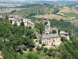 The village of Cassagnes-Comtaux | |
 Goutrens Location within Occitanie region  Goutrens | |
| Coordinates: 44°26′38″N 2°22′13″E / 44.4439°N 2.3703°ECoordinates: 44°26′38″N 2°22′13″E / 44.4439°N 2.3703°E | |
| Country | France |
| Region | Occitanie |
| Department | Aveyron |
| Arrondissement | Villefranche-de-Rouergue |
| Canton | Enne et Alzou |
| Intercommunality | Pays Rignacois |
| Government | |
| • Mayor (2008–2014) | Alain Laporte |
| Area1 | 25.99 km2 (10.03 sq mi) |
| Population (2008)2 | 445 |
| • Density | 17/km2 (44/sq mi) |
| Time zone | UTC+1 (CET) |
| • Summer (DST) | UTC+2 (CEST) |
| INSEE/Postal code | 12111 /12390 |
| Elevation |
331–725 m (1,086–2,379 ft) (avg. 560 m or 1,840 ft) |
|
1 French Land Register data, which excludes lakes, ponds, glaciers > 1 km2 (0.386 sq mi or 247 acres) and river estuaries. 2 Population without double counting: residents of multiple communes (e.g., students and military personnel) only counted once. | |
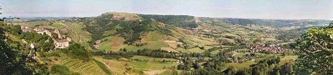
Goutrens is a commune in the Aveyron department in southern France.
Population
| Historical population | ||
|---|---|---|
| Year | Pop. | ±% |
| 1962 | 592 | — |
| 1968 | 623 | +5.2% |
| 1975 | 531 | −14.8% |
| 1982 | 473 | −10.9% |
| 1990 | 441 | −6.8% |
| 1999 | 411 | −6.8% |
| 2008 | 445 | +8.3% |
See also
References
| Wikimedia Commons has media related to Goutrens. |
This article is issued from
Wikipedia.
The text is licensed under Creative Commons - Attribution - Sharealike.
Additional terms may apply for the media files.