Front Range Urban Corridor
| Front Range Urban Corridor | |
|---|---|
| Megaregion of the U.S. | |
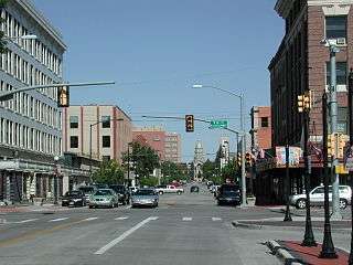 Cheyenne looking toward the Wyoming State Capitol | |
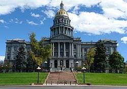 The Colorado State Capitol in Denver | |
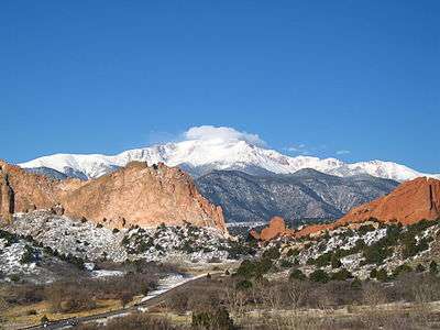 Pikes Peak from the Garden of the Gods in Colorado Springs | |
| Country |
|
| Population | 4,833,260 |
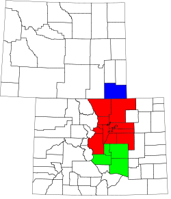
The Front Range Urban Corridor is an oblong region of urban population located along the eastern face of the Southern Rocky Mountains, encompassing 18 counties in the U.S. states of Colorado and Wyoming. The corridor derives its name from the Front Range, the mountain range that defines the west central boundary of the corridor. The region comprises the northern portion of the Southern Rocky Mountain Front geographic area, which in turn comprises the southern portion of the Rocky Mountain Front geographic area of Canada and the United States. The Front Range Urban Corridor had an estimated population of 4,833,260 on July 1, 2016, an increase of +11.53% since the 2010 United States Census.[1]
Extent
The Front Range Urban Corridor stretches from Pueblo, Colorado, north along Interstate 25 to Cheyenne, Wyoming, and includes the Denver-Aurora-Lakewood, CO Metropolitan Statistical Area, the Colorado Springs, CO Metropolitan Statistical Area, the Boulder, CO Metropolitan Statistical Area, the Fort Collins, CO Metropolitan Statistical Area, the Greeley, CO Metropolitan Statistical Area, the Pueblo, CO Metropolitan Statistical Area, the Cheyenne, WY Metropolitan Statistical Area, and the Cañon City, CO Micropolitan Statistical Area. The corridor comprises three primary subregions: the South Central Colorado Urban Area, the North Central Colorado Urban Area, and the Cheyenne Metropolitan Area.
The influence of the Corridor extends well beyond its defined boundaries. The Colorado Eastern Plains, Nebraska Panhandle, and Albany County, Wyoming, among other areas, are culturally and economically tied to the Corridor, though they are not considered to be a part of it.
The definition included here is not used for the greater Front Range Megaregion, one of the 11 megaregions of the United States. The megaregion's area is more expansive, extending south from Pueblo along the I-25 corridor into New Mexico, including Albuquerque and Santa Fe, and also including the Wasatch Front of Utah, separated by hundreds of miles from the regional core.[2]
The table below includes the following information:
- The urban region.
- The Core Based Statistical Area (CBSA) as designated by the United States Office of Management and Budget.[3]
- The CBSA population as of July 1, 2016, as estimated by the United States Census Bureau.[1]
- The county.[1]
- The county population as of July 1, 2016, as estimated by the United States Census Bureau.[1]
- The county population as of April 1, 2010, as enumerated by the 2010 United States Census.[1]
- The percent county population change from April 1, 2010, to July 1, 2016.[1]
Municipalities
Wyoming jurisdictions
In the State of Wyoming, the Front Range Urban Corridor includes the Town of Albin, the Town of Burns, the City of Cheyenne, the Town of Pine Bluffs, and unincorporated Laramie County.
Colorado jurisdictions
In the State of Colorado, the Front Range Urban Corridor includes:
Gallery of the most populous Front Range municipalities
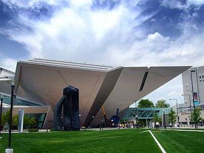 1. The Denver Art Museum in Denver.
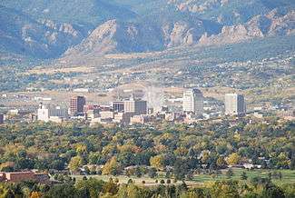 2. Colorado Springs from the northeast.
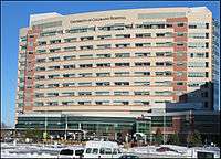 3. The University of Colorado Hospital in Aurora.
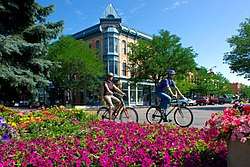 4. Downtown Fort Collins.
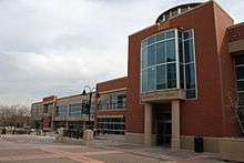 5. The Lakewood Civic Center in Lakewood.
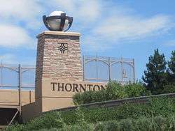 6. Thornton welcome sign from Interstate 25.
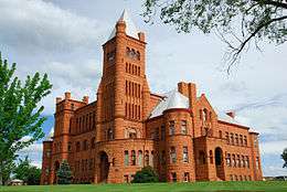 7. Westminster Castle in Westminster.
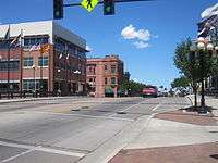 8. Downtown Pueblo.
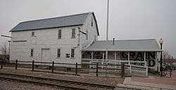 9. The Arvada Flour Mill Museum in Arvada.
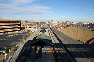 10. The Dry Creek Station in Centennial.
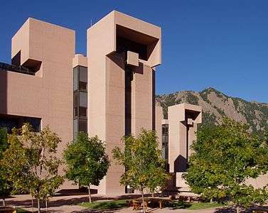 11. The National Center for Atmospheric Research in Boulder.
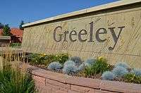 12. Downtown Greeley.
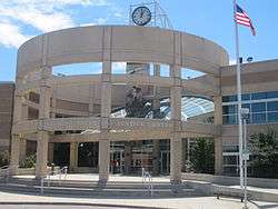 13. The Longmont Safety and Justice Center in Longmont.
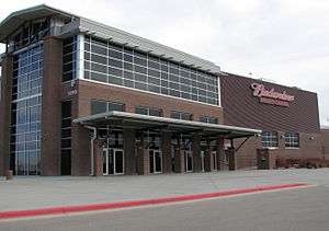 14. The Budweiser Events Center in Loveland.
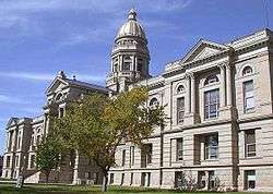 15. The Wyoming State Capitol in Cheyenne.
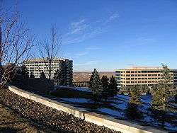 16. The Interlocken Office Park in Broomfield.
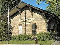 17. The Castle Rock Depot in Castle Rock.
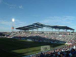
See also
- Colorado
- Colorado census designated places
- Colorado census statistical areas
- Colorado counties
- Colorado metropolitan areas
- Colorado municipalities
- Conurbation
- List of U.S. interstate metropolitan areas
- Megacity
- Megaregions of the United States
- Rocky Mountain Front
- Southern Rocky Mountain Front
- Southern Rocky Mountains
- Table of United States Combined Statistical Areas
- Table of United States Core Based Statistical Areas
- Table of United States Metropolitan Statistical Areas
- Table of United States Micropolitan Statistical Areas
- Table of United States primary census statistical areas
- Wyoming
- Wyoming census statistical areas
References
- 1 2 3 4 5 6 7 "Estimates of the Components of Resident Population Change for Counties: April 1, 2010 to July 1, 2016". 2016 Population Estimates. United States Census Bureau, Population Division. July 1, 2016. Retrieved July 21, 2017.
- ↑ "Megaregions". Retrieved October 1, 2014.
- ↑ "OMB Bulletin No. 10-02: Update of Statistical Area Definitions and Guidance on Their Uses" (PDF). United States Office of Management and Budget. December 1, 2009. Archived from the original (PDF) on March 16, 2012. Retrieved May 5, 2011.
- ↑ The City of Centennial, Colorado was incorporated on February 7, 2001.