Chapel Rural Historic District
The Chapel Rural Historic District is an expansive rural historic district in Clarke County, Virginia. The district encompasses an area of nearly 11,500 acres (4,700 ha), a rural landscape that extends from Millwood in the south, nearly to Berryville in the north. The district takes its name from the Old Chapel, an 18th-century building that stands prominently at the junction of several roads near the center of the district. The district includes nearly 700 contributing properties.[2]
Chapel Rural Historic District | |
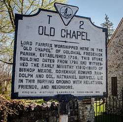 Old Chapel Historic Marker Intersection of Hwy. 340 and Bishop Meade Rd. | |
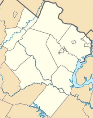   | |
| Location | Generally centered along Lord Fairfax Hwy, Millwood, Virginia |
|---|---|
| Coordinates | 39°6′28″N 78°0′52″W |
| Area | 11,496 acres (4,652 ha) |
| NRHP reference No. | 14000010[1] |
| Added to NRHP | February 14, 2014 |
The district was listed on the National Register of Historic Places in 2014.[1]
Gallery
- A few of the historic sites within this district:
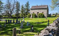 Old Chapel and Cemetery
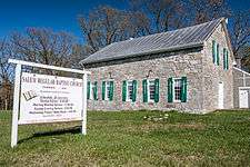 Salem Regular Baptist Church
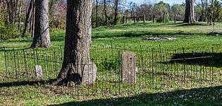 Salem Regular Baptist Church Cemetery
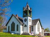 Millwood Shiloh Baptist Church
 Millwood United Methodist Church
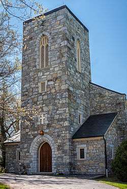 Christ Church, Millwood
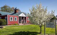 Old Schoolhouse, now Red Schoolhouse Antiques
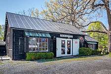 Old Barn, now Black Penny Antiques
References
- "National Register Information System". National Register of Historic Places. National Park Service. July 9, 2010.
- "NRHP nomination for Chapel Rural Historic District" (PDF). Virginia DHR. Retrieved 2014-03-08.
| Wikimedia Commons has media related to Chapel Rural Historic District. |

This article is issued from Wikipedia. The text is licensed under Creative Commons - Attribution - Sharealike. Additional terms may apply for the media files.