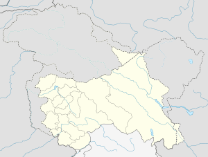
Spanggur Gap
| Spanggur Gap | |
|---|---|
  | |
| Location | India / China |
| Coordinates | 33°34′23″N 78°46′48″E / 33.573°N 78.78°ECoordinates: 33°34′23″N 78°46′48″E / 33.573°N 78.78°E |
The Spanggur Gap (Chinese: 曼冬错山口; Hindi: स्पंगगुर गैप[1]) is a mountain pass on the Line of Actual Control between China and India. It is a gap in the mountains to the south of the Pangong Lake. To the east of the gap is the Spanggur Lake.
During the war of 1962 there were Indian posts in Spanggur Gap,[2][3][4] but India later withdrew from here in order to bolster defences of the nearby Indian village of Chushul.[5][6]
References
- ↑ "Hindi-GK". www.hindi-gk.com. seema Charan.
- ↑ Singh, edited by Jasjit (15 March 2013). China's India War, 1962 : looking back to see the future. New Delhi: KW Publishers in association with Centre for Air Power Studies. ISBN 978-93-81904-72-5. Retrieved 2 October 2017.
Holding on to Spanggur Gap and Maggar Hill was now considered futile and the posts were asked to withdraw.
- ↑ Thapliyal, SV (2005). "Battle of Eastern Ladakh : 1962 Sino-Indian Conflict". Journal of the United Service Institution of India. 135 (560): 282–298.
- ↑ https://www.bharat-rakshak.com/ARMY/history/1962war/264-chushul.html
- ↑ Praval, Major K.C. "Chapter 9". Indian Army After Independence. Lancer Publishers LLC.
- ↑ http://www.thehindu.com/opinion/lead/dont-forget-the-heroes-of-rezang-la/article4112584.ece
This article is issued from
Wikipedia.
The text is licensed under Creative Commons - Attribution - Sharealike.
Additional terms may apply for the media files.