Zangla
| Zangla Sangla | |
|---|---|
| Village | |
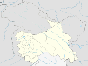
 Zangla Location in Jammu and Kashmir, India  Zangla Zangla (India) | |
| Coordinates: 33°40′N 76°59′E / 33.67°N 76.98°ECoordinates: 33°40′N 76°59′E / 33.67°N 76.98°E | |
| Country |
|
| State | Jammu and Kashmir |
| District | Kargil |
| Named for | Zangla fort |
| Government | |
| • Body | Sarpanch |
| Elevation | 3,931 m (12,897 ft) |
| Population (2014) | |
| • Total | 400 |
| Languages | |
| • Official | Bhoti |
| Time zone | UTC+5:30 (IST) |
Zangla is a place in Zanskar tehsil of Kargil district, in the Indian state of Jammu and Kashmir. It is located 32 km from Padum.[1] The town is the nodal point on the popular Padum-Strongdey-Zangla-Karsha-Padum round trip. An old monastery, Known as Zangla Monastery is located on a hill top right side to village at a distance of one km belief of 11th century.
The Buddhist monastery contains some impressive paintings.[2]
Geography
Zangla is located at 33°40′N 76°59′E / 33.67°N 76.98°E,[3] and has an average elevation of 3,931 metres (12,897 feet).
References
- ↑ "Zangla | Things to do in Zangla & Travel Guide". www.lehladakhindia.com. Retrieved 2017-01-06.
- ↑ "Zangla | Things to do in Zangla & Travel Guide". www.lehladakhindia.com. Retrieved 2017-01-06.
- ↑ Falling Rain Genomics, Inc - Zangla
This article is issued from
Wikipedia.
The text is licensed under Creative Commons - Attribution - Sharealike.
Additional terms may apply for the media files.