Cho La (Sikkim and Tibet)
| Cho La | |
|---|---|
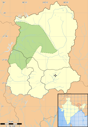 Cho La Location in Sikkim | |
| Elevation | 4,593 m (15,069 ft)[1] |
| Location | India (Sikkim) – China (Tibet Autonomous Region) |
| Range | Himalaya |
| Coordinates | 27°25′10″N 88°48′15″E / 27.41949°N 88.8041546°ECoordinates: 27°25′10″N 88°48′15″E / 27.41949°N 88.8041546°E |
| Cho La | |||||||
| Chinese | 卓拉山口 | ||||||
|---|---|---|---|---|---|---|---|
| Literal meaning | Cho Pass in Tibetan[2] | ||||||
| |||||||
Cho La or Cho-la (Chinese: 卓拉山口) is a mountain pass in the Himalayas. It connects the Indian state of Sikkim with China's Tibet Autonomous Region. It is situated around four miles to the north-west of Nathu La.[3]
The pass was the scene of a clash between Chinese and Indian troops on 1 October 1967.[4]
The road is inaccessible during the colder half of the year.[5] On the Chinese side, there is a border guard outpost at 4,783 metres (15,692 ft) above sea level. Road to the outpost was repaved in 2016[6]
See also
References
- ↑ "Introduction to Sikkim's Physiography". Sikkim Biodiversity Board. Retrieved 29 August 2015.
- ↑ Pradhan, Keshav (6 July 2006). "In the good ol' days of Nathu-la". Times of India, Mumbai. Bennett, Coleman & Co. Ltd. p. 10.
- ↑ Bajpai, G. S. (1999). China's shadow over Sikkim : the politics of intimidation. New Delhi [u.a.]: Lancer Publ. p. 193. ISBN 9781897829523. Retrieved 29 August 2015.
- ↑ "Sikkim, Red China Clash Renewed". The Dispatch (Lexington). 2 October 1967. p. 5. Retrieved 29 August 2015.
- ↑ "Cho La". dangerousroads.org. Retrieved 2017-02-01.
Only 4x4. Impassable from October to June.
- ↑ 康哲 (2016-08-16). "公路修到海拔4783米哨所 物资补给全程摩托化". 中国军网 (www.81.cn) (in Chinese). Retrieved 2017-02-01.
今年初,西藏军区启动卓拉哨所公路专项整治工程,历经半年多时间,哨所公路整治工程顺利完工。
Mountain passes of China | |||||||||||||||
|---|---|---|---|---|---|---|---|---|---|---|---|---|---|---|---|
| On the border | |||||||||||||||
| In the interior |
| ||||||||||||||
| |||||||||||||||
This article is issued from
Wikipedia.
The text is licensed under Creative Commons - Attribution - Sharealike.
Additional terms may apply for the media files.