Trévien
| Trévien | |
|---|---|
| Commune | |
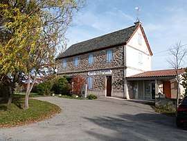 The town hall in Trévien | |
 Trévien Location within Occitanie region  Trévien | |
| Coordinates: 44°06′41″N 2°07′28″E / 44.1114°N 2.1244°ECoordinates: 44°06′41″N 2°07′28″E / 44.1114°N 2.1244°E | |
| Country | France |
| Region | Occitanie |
| Department | Tarn |
| Arrondissement | Albi |
| Canton | Carmaux-2 Vallée du Cérou |
| Intercommunality | Ségala-Carmausin |
| Government | |
| • Mayor (2008–2014) | Gilles Caste |
| Area1 | 16.26 km2 (6.28 sq mi) |
| Population (2006)2 | 190 |
| • Density | 12/km2 (30/sq mi) |
| Time zone | UTC+1 (CET) |
| • Summer (DST) | UTC+2 (CEST) |
| INSEE/Postal code | 81304 /81190 |
| Elevation |
219–466 m (719–1,529 ft) (avg. 310 m or 1,020 ft) |
|
1 French Land Register data, which excludes lakes, ponds, glaciers > 1 km2 (0.386 sq mi or 247 acres) and river estuaries. 2 Population without double counting: residents of multiple communes (e.g., students and military personnel) only counted once. | |
Trévien is a commune in the Tarn department in southern France.
See also
References
| Wikimedia Commons has media related to Trévien. |
This article is issued from
Wikipedia.
The text is licensed under Creative Commons - Attribution - Sharealike.
Additional terms may apply for the media files.