Hurley Glacier
| Hurley Glacier | |
|---|---|
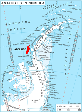 Location of Adelaide Island in the Antarctic Peninsula | |
 Location of Hurley Glacier in Antarctica | |
| Location | Adelaide Island |
| Coordinates | 67°34′S 68°32′W / 67.567°S 68.533°W / -67.567; -68.533 |
| Thickness | unknown |
| Terminus | Ryder Bay |
| Status | unknown |
Hurley Glacier (67°34′S 68°32′W / 67.567°S 68.533°W / -67.567; -68.533Coordinates: 67°34′S 68°32′W / 67.567°S 68.533°W / -67.567; -68.533) is a glacier between Mount Gaudry and Mount Liotard, flowing east into Ryder Bay, Adelaide Island, Antarctica. It was named by the UK Antarctic Place-Names Committee in 1977 after Alec J. Hurley, a British Antarctic Survey mechanic at Halley Station, 1975–76, and Rothera Station, 1976–77.[1]
See also
References
- ↑ "Hurley Glacier". Geographic Names Information System. United States Geological Survey. Retrieved 2012-07-05.

| Types | |||||||
|---|---|---|---|---|---|---|---|
| Anatomy | |||||||
| Processes | |||||||
| Measurements | |||||||
| Volcanic relations | |||||||
| Landforms |
| ||||||
| |||||||
This article is issued from
Wikipedia.
The text is licensed under Creative Commons - Attribution - Sharealike.
Additional terms may apply for the media files.