Jorum Glacier
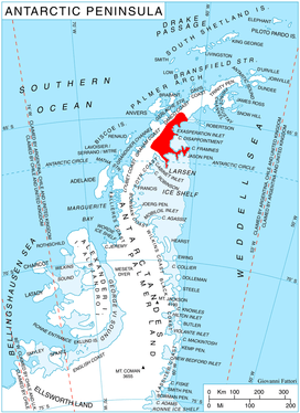
Jorum Glacier (65°14′S 62°3′W / 65.233°S 62.050°W / -65.233; -62.050Coordinates: 65°14′S 62°3′W / 65.233°S 62.050°W / -65.233; -62.050) is a glacier draining the southeast slopes of Forbidden Plateau, and flowing east along the north side of Austa Ridge into Borima Bay southwest of Furen Point, on the east coast of Graham Land, Antarctica. It was surveyed by the Falkland Islands Dependencies Survey in 1947 and 1955. The UK Antarctic Place-Names Committee name alludes to the punchbowl shape of the head of the glacier, a "jorum" being a large drinking bowl used for punch.[1]
References
- ↑ "Jorum Glacier". Geographic Names Information System. United States Geological Survey. Retrieved 2013-04-08.
![]()