Bagshawe Glacier
| Bagshawe Glacier | |
|---|---|
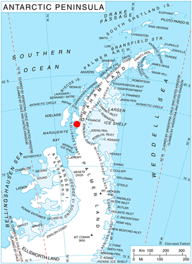 Location of Danco Coast on Antarctic Peninsula | |
 Location of Bagshawe Glacier in Antarctica | |
| Location | Graham Land |
| Coordinates | 64°56′S 62°35′W / 64.933°S 62.583°W / -64.933; -62.583 |
| Thickness | unknown |
| Terminus | Lester Cove |
| Status | unknown |
Bagshawe Glacier (64°56′S 62°35′W / 64.933°S 62.583°W / -64.933; -62.583Coordinates: 64°56′S 62°35′W / 64.933°S 62.583°W / -64.933; -62.583) is a glacier which drains the northeast slopes of Mount Theodore and discharges into Lester Cove, Andvord Bay west of Mount Tsotsorkov, on the west coast of Graham Land, Antarctica.
The mouth of the glacier was first seen and sketched by the Belgian Antarctic Expedition in February 1898, and the glacier was first roughly surveyed by Kenneth V. Blaiklock of the Falkland Islands Dependencies Survey from the ship Norsel in April 1955. It was named by the UK Antarctic Place-Names Committee after Thomas W. Bagshawe who, with Maxime C. Lester, wintered at Waterboat Point near Andvord Bay in 1921.[1][2]
See also
References
- ↑ "Bagshawe Glacier". Geographic Names Information System. United States Geological Survey. Retrieved 2013-06-11.
- ↑ Alberts, Fred G., ed. (June 1995). Geographic Names of the Antarctic (PDF) (second ed.). United States Board on Geographic Names. p. 39. Retrieved 2012-04-05.
![]()