Breitfuss Glacier
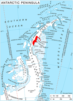
Breitfuss Glacier (66°58′S 64°52′W / 66.967°S 64.867°W / -66.967; -64.867Coordinates: 66°58′S 64°52′W / 66.967°S 64.867°W / -66.967; -64.867) is a glacier 10 nautical miles (19 km) long, which flows southeast from Avery Plateau into Mill Inlet to the west of Cape Chavanne, on the east coast of Graham Land. It was charted by the Falkland Islands Dependencies Survey (FIDS) and photographed from the air by the Ronne Antarctic Research Expedition in 1947. It was named by the FIDS for Leonid Breitfuss, a German polar explorer, historian, and author of many polar bibliographies.[1]
References
- ↑ "Breitfuss Glacier". Geographic Names Information System. United States Geological Survey. Retrieved 2011-09-02.
![]()