Lucchitta Glacier
| Lucchitta Glacier | |
|---|---|
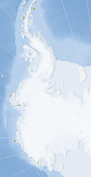 | |
 Location of Lucchitta Glacier in Antarctica | |
| Location | Ellsworth Land |
| Coordinates | 74°24′00″S 99°56′00″W / 74.40000°S 99.93333°W / -74.40000; -99.93333 |
| Length | 20 nautical miles (37 km; 23 mi) |
| Thickness | unknown |
| Terminus | Pine Island Bay |
| Status | unknown |
Lucchitta Glacier (74°24′S 99°56′W / 74.400°S 99.933°W / -74.400; -99.933Coordinates: 74°24′S 99°56′W / 74.400°S 99.933°W / -74.400; -99.933) is a glacier about 20 nautical miles (37 km) long flowing south from the Hudson Mountains of Antarctica into Pine Island Bay. It was named by the Advisory Committee on Antarctic Names after geologist Baerbel K. Lucchitta of the United States Geological Survey, Flagstaff, Arizona, a specialist in the use of satellite imagery for geological and glaciological studies from the early 1980s to the early 2000s (decade), and one of the pioneers in the use of imagery for glacier velocity measurements in Antarctica.[1]
See also
References
- ↑ "Lucchitta Glacier". Geographic Names Information System. United States Geological Survey. Retrieved 2013-07-08.

| Types | |||||||
|---|---|---|---|---|---|---|---|
| Anatomy | |||||||
| Processes | |||||||
| Measurements | |||||||
| Volcanic relations | |||||||
| Landforms |
| ||||||
| |||||||
This article is issued from
Wikipedia.
The text is licensed under Creative Commons - Attribution - Sharealike.
Additional terms may apply for the media files.