Minnesota Glacier
| Minnesota Glacier | |
|---|---|
 Location of Ellsworth Mountains in Western Antarctica | |
 Location of Minnesota Glacier in Antarctica | |
| Location | Ellsworth Land |
| Coordinates | 79°00′00″S 83°00′00″W / 79.00000°S 83.00000°W / -79.00000; -83.00000 |
| Length | 40 nautical miles (74 km; 46 mi) |
| Width | 5 nautical miles (9.3 km; 5.8 mi) |
| Thickness | unknown |
| Terminus | Rutford Ice Stream |
| Status | unknown |
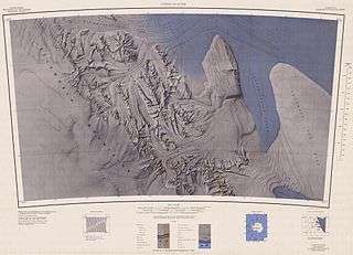

Minnesota Glacier (79°0′S 83°0′W / 79.000°S 83.000°W / -79.000; -83.000Coordinates: 79°0′S 83°0′W / 79.000°S 83.000°W / -79.000; -83.000) is a broad glacier, about 40 nautical miles (74 km; 46 mi) long and 5 nautical miles (9.3 km; 5.8 mi) wide, flowing east through the Ellsworth Mountains in Antarctica, separating the Sentinel Range and the Heritage Range. It is nourished by ice from the plateau west of the mountains and by Nimitz Glacier and Splettstoesser Glacier, and merges into the larger Rutford Ice Stream at the eastern margin of the Ellsworth Mountains.
The glacier was named by the Advisory Committee on Antarctic Names for the University of Minnesota at Minneapolis, which sent research parties to the Ellsworth Mountains in 1961–62, 1962–63 and 1963–64.[1]
Tributary glaciers
See also
References
- ↑ "Minnesota Glacier". Geographic Names Information System. United States Geological Survey. Retrieved 2013-10-23.

| Types | |||||||
|---|---|---|---|---|---|---|---|
| Anatomy | |||||||
| Processes | |||||||
| Measurements | |||||||
| Volcanic relations | |||||||
| Landforms |
| ||||||
| |||||||