Malm (municipality)
| Malm herred | |
|---|---|
| Former municipality | |
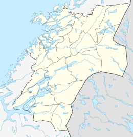 Malm herred Malm within Nord-Trøndelag  Malm herred Malm herred (Norway) | |
| Coordinates: 64°04′31″N 11°13′26″E / 64.0753°N 11.2240°ECoordinates: 64°04′31″N 11°13′26″E / 64.0753°N 11.2240°E | |
| Country | Norway |
| County | Nord-Trøndelag |
| District | Innherred |
| Established | 1 July 1913 |
| Disestablished | 1 Jan 1964 |
| Administrative centre | Malm |
| Area | |
| • Total | 261 km2 (101 sq mi) |
| *Area at municipal dissolution. | |
| Population (1964) | |
| • Total | 2,975 |
| • Density | 11/km2 (30/sq mi) |
| Demonym(s) | Malmbygg[1] |
| Time zone | UTC+01:00 (CET) |
| • Summer (DST) | UTC+02:00 (CEST) |
| ISO 3166 code | NO-1726 |
| Preceded by | Beitstad in 1913 |
| Succeeded by | Verran in 1964 |
![]()
History
The municipality was established on 1 July 1913 when the western district of the municipality of Beitstad was separated to form the new municipality of Malm. The initial population of Malm was 993 people, which left Beitstad with 1,934. During the 1960s, there were many municipal mergers across Norway due to the work of the Schei Committee. On 1 January 1964, the municipality of Malm (population: 2,975) was merged with the neighboring municipality of Verran (population: 1,803), creating a new municipality called Verran.[3]
See also
References
- ↑ "Navn på steder og personer: Innbyggjarnamn" (in Norwegian). Språkrådet. Retrieved 2015-12-01.
- ↑ Thorsnæs, Geir, ed. (2018-02-04). "Malm – tidligere kommune". Store norske leksikon (in Norwegian). Kunnskapsforlaget. Retrieved 2018-04-15.
- ↑ Jukvam, Dag (1999). "Historisk oversikt over endringer i kommune- og fylkesinndelingen" (PDF) (in Norwegian). Statistisk sentralbyrå.
| |||||||
| |||||||
| |||||||
