List of Georgia state parks
This is a list of state parks in Georgia. The park system of the US state of Georgia was founded in 1931 with Indian Springs State Park and Vogel State Park. Indian Springs has been operated by the state as a public park since 1825, making it perhaps the oldest state park in the United States. The newest state park is Don Carter.[1]
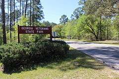
Since the economic crash of 2008, Georgia has halved the budget for the Division of State Parks and Historic Sites and turned over the management of five of the parks to Coral Hospitality, a Florida-based hotel and resort management company. The five parks are Amicalola Falls State Park & Lodge, Unicoi State Park & Lodge, Little Ocmulgee State Park & Lodge, Georgia Veterans State Park, and George T. Bagby State Park.[2]
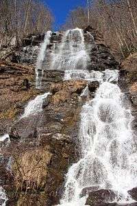
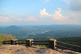
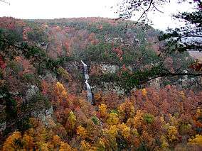
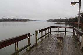
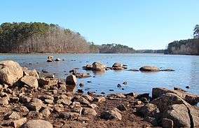
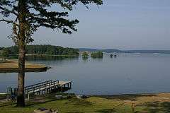
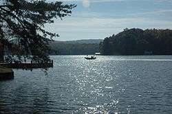
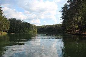
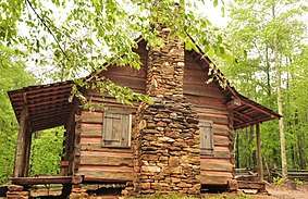
State parks

.jpg)


_2013.JPG)
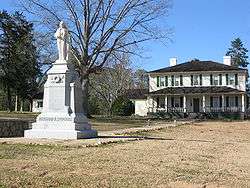
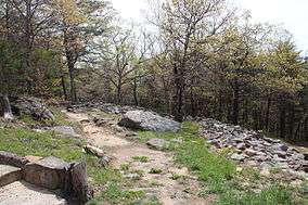
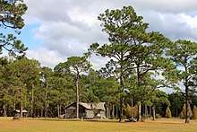
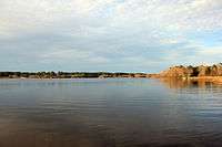
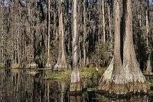
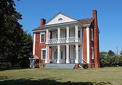
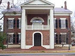
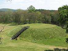
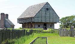
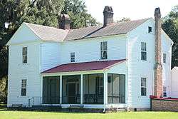
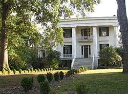
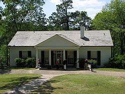
Historic sites
.JPG)
.JPG)


.jpg)
Other
- Jekyll Island was formerly a state park, but since 1951 it has been managed by the Jekyll Island Authority, a self-supporting state agency.
- Lake Lanier Islands were leased from the US Army Corps of Engineers by the Georgia Department of State Parks for a recreation resort. The islands are now managed by a private company.
- Stone Mountain Park is owned by the state and managed by the self-sufficient state agency, the Stone Mountain Memorial Association. It is operated as an amusement park under a contact with the Herschend Family Entertainment Corporation.
See also
- List of U.S. national parks
References
- "Don Carter State Park". State Parks & Historic Sites. February 21, 2017. Retrieved September 24, 2017.
- Omarzu, Tim (May 29, 2013). "Georgia tries to balance cuts with need to draw visitors to state parks". TimesFreePress.com. Retrieved September 25, 2017.
- "Chattahoochee Bend State Park". State Parks & Historic Sites. March 3, 2017. Retrieved September 24, 2017.
- "The Georgia Trust". www.georgiatrust.org. Retrieved September 24, 2017.
