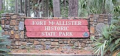
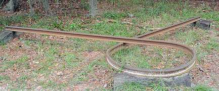
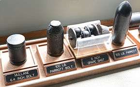
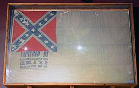
Fort McAllister Historic State Park
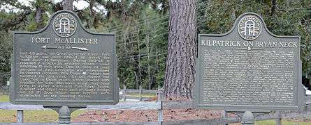
Fort McAllister State Park is a 1,725 acres (698 ha) Georgia state park located near Keller and Richmond Hill in south Bryan County, Georgia and on the south bank of the Ogeechee River (some parts of the park border the Atlantic Ocean). It is roughly ten miles south of Savannah. The park is home to Fort McAllister, the best-preserved earthwork fortification of the Confederacy. Though the earthworks were attacked unsuccessfully seven times by Union soldiers, it did not fall until it was taken by General Sherman in 1864 during his March to the Sea. The park, located on the coast, is nestled among giant live oaks and a large salt marsh. In addition, the park contains a museum specializing in Civil War artifacts. The fort was added to the National Register of Historic Places in 1970.[1]
| Fort McAllister State Park | |
|---|---|
 Inside the fort | |
  | |
| Location | Bryan County, Georgia, USA |
| Nearest city | Richmond Hill, Georgia |
| Coordinates | 31°53′28″N 81°11′46″W |
| Website | Official website |
Fort McAllister Historic State Park | |
| Area | 30 acres (12 ha) |
| Built | 1861 |
| Architect | Captain John McCrady |
| NRHP reference No. | 70000197[1] |
Facilities
- 56 tent/trailer/RV Campsites
- 2 Backcountry Campsites
- 7 Cottages
- 2 Picnic Shelters
- 2 Pioneer Campgrounds
- 1 Group Shelter
- Hiking trail - 4.3 mi (6.9 km) of trails - One is 3.1 mi (5.0 km) long and the other 1.2 mi (1.9 km) long
- Boat ramps
- Playground
Annual events
- 4th of July Barbecue, Picnic and Craft Show (July)
- Fort tours
- Labor Day and Winter Musters
- Super Sundays
Photos
|

See also
- Battle of Fort McAllister (1863)
- Battle of Fort McAllister (1864)
- Battle of Fort Pulaski
- National Register of Historic Places in Bryan County, Georgia
References
- "National Register Information System – Fort McAllister State Park (#70000197)". National Register of Historic Places. National Park Service. March 13, 2009. Retrieved September 25, 2017.
External links

- Fort McAllister Historic Park