Les Matelles
| Les Matelles | ||
|---|---|---|
| Commune | ||
 Tower | ||
| ||
 Les Matelles Location within Occitanie region  Les Matelles | ||
| Coordinates: 43°43′53″N 3°48′34″E / 43.7314°N 3.8094°ECoordinates: 43°43′53″N 3°48′34″E / 43.7314°N 3.8094°E | ||
| Country | France | |
| Region | Occitanie | |
| Department | Hérault | |
| Arrondissement | Lodève | |
| Canton | Saint-Gély-du-Fesc | |
| Intercommunality | Pic-Saint-Loup | |
| Government | ||
| • Mayor (2008–2014) | Alain Barbe | |
| Area1 | 16.81 km2 (6.49 sq mi) | |
| Population (2008)2 | 1,537 | |
| • Density | 91/km2 (240/sq mi) | |
| Time zone | UTC+1 (CET) | |
| • Summer (DST) | UTC+2 (CEST) | |
| INSEE/Postal code | 34153 /34270 | |
| Elevation |
60–300 m (200–980 ft) (avg. 100 m or 330 ft) | |
|
1 French Land Register data, which excludes lakes, ponds, glaciers > 1 km2 (0.386 sq mi or 247 acres) and river estuaries. 2 Population without double counting: residents of multiple communes (e.g., students and military personnel) only counted once. | ||
.svg.png)
Les Matelles is a commune in the Hérault department in southern France.
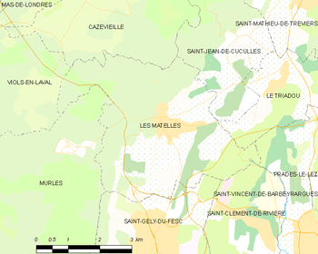
Map
Population
| Historical population | ||
|---|---|---|
| Year | Pop. | ±% |
| 1962 | 317 | — |
| 1968 | 328 | +3.5% |
| 1975 | 434 | +32.3% |
| 1982 | 780 | +79.7% |
| 1990 | 1,150 | +47.4% |
| 1999 | 1,429 | +24.3% |
| 2008 | 1,537 | +7.6% |
See also
References
| Wikimedia Commons has media related to Les Matelles. |
This article is issued from
Wikipedia.
The text is licensed under Creative Commons - Attribution - Sharealike.
Additional terms may apply for the media files.