Cruzy
| Cruzy | ||
|---|---|---|
| Commune | ||
_Mairie.jpg) Town hall | ||
| ||
 Cruzy Location within Occitanie region  Cruzy | ||
| Coordinates: 43°21′24″N 2°56′29″E / 43.3567°N 2.9414°ECoordinates: 43°21′24″N 2°56′29″E / 43.3567°N 2.9414°E | ||
| Country | France | |
| Region | Occitanie | |
| Department | Hérault | |
| Arrondissement | Béziers | |
| Canton | Saint-Pons-de-Thomières | |
| Intercommunality | Canal Lirou | |
| Government | ||
| • Mayor (2008–2014) | Hedwige Sola | |
| Area1 | 25.85 km2 (9.98 sq mi) | |
| Population (2008)2 | 953 | |
| • Density | 37/km2 (95/sq mi) | |
| Time zone | UTC+1 (CET) | |
| • Summer (DST) | UTC+2 (CEST) | |
| INSEE/Postal code | 34092 /34310 | |
| Elevation |
21–263 m (69–863 ft) (avg. 92 m or 302 ft) | |
|
1 French Land Register data, which excludes lakes, ponds, glaciers > 1 km2 (0.386 sq mi or 247 acres) and river estuaries. 2 Population without double counting: residents of multiple communes (e.g., students and military personnel) only counted once. | ||
.svg.png)
Cruzy is a commune in the Hérault department in southern France.
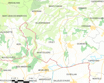
Map
Population
| Historical population | ||
|---|---|---|
| Year | Pop. | ±% |
| 1962 | 960 | — |
| 1968 | 1,059 | +10.3% |
| 1975 | 905 | −14.5% |
| 1982 | 844 | −6.7% |
| 1990 | 801 | −5.1% |
| 1999 | 830 | +3.6% |
| 2008 | 953 | +14.8% |
See also
References
| Wikimedia Commons has media related to Cruzy. |
This article is issued from
Wikipedia.
The text is licensed under Creative Commons - Attribution - Sharealike.
Additional terms may apply for the media files.