Baillargues
| Baillargues | ||
|---|---|---|
| Commune | ||
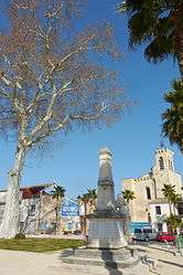 The church square in Baillargues | ||
| ||
 Baillargues Location within Occitanie region  Baillargues | ||
| Coordinates: 43°39′43″N 4°00′49″E / 43.6619°N 4.0136°ECoordinates: 43°39′43″N 4°00′49″E / 43.6619°N 4.0136°E | ||
| Country | France | |
| Region | Occitanie | |
| Department | Hérault | |
| Arrondissement | Montpellier | |
| Canton | Le Crès | |
| Intercommunality | Montpellier Méditerranée Métropole | |
| Government | ||
| • Mayor (2008–2014) | Jean-Luc Meissonnier | |
| Area1 | 7.68 km2 (2.97 sq mi) | |
| Population (2008)2 | 6,054 | |
| • Density | 790/km2 (2,000/sq mi) | |
| Time zone | UTC+1 (CET) | |
| • Summer (DST) | UTC+2 (CEST) | |
| INSEE/Postal code | 34022 /34670 | |
| Elevation | 12.5–58 m (41–190 ft) | |
|
1 French Land Register data, which excludes lakes, ponds, glaciers > 1 km2 (0.386 sq mi or 247 acres) and river estuaries. 2 Population without double counting: residents of multiple communes (e.g., students and military personnel) only counted once. | ||
.svg.png)
Baillargues (Catalan: Balhargues) is a commune in the Hérault department in the Occitanie region in southern France.
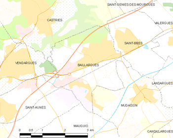
Map
Population
| Historical population | ||
|---|---|---|
| Year | Pop. | ±% |
| 1962 | 1,062 | — |
| 1968 | 1,279 | +20.4% |
| 1975 | 1,504 | +17.6% |
| 1982 | 2,632 | +75.0% |
| 1990 | 4,375 | +66.2% |
| 1999 | 5,842 | +33.5% |
| 2008 | 6,054 | +3.6% |
See also
References
| Wikimedia Commons has media related to Baillargues. |
This article is issued from
Wikipedia.
The text is licensed under Creative Commons - Attribution - Sharealike.
Additional terms may apply for the media files.