Asheboro, North Carolina
Asheboro is a city in and the county seat of Randolph County, North Carolina, United States.[4] The population was 25,012 at the 2010 census. It is the home of the state-owned North Carolina Zoo.[5]
Asheboro, North Carolina | |
|---|---|
| Motto(s): "Exactly where you want to be." | |
 Location of Asheboro, North Carolina | |
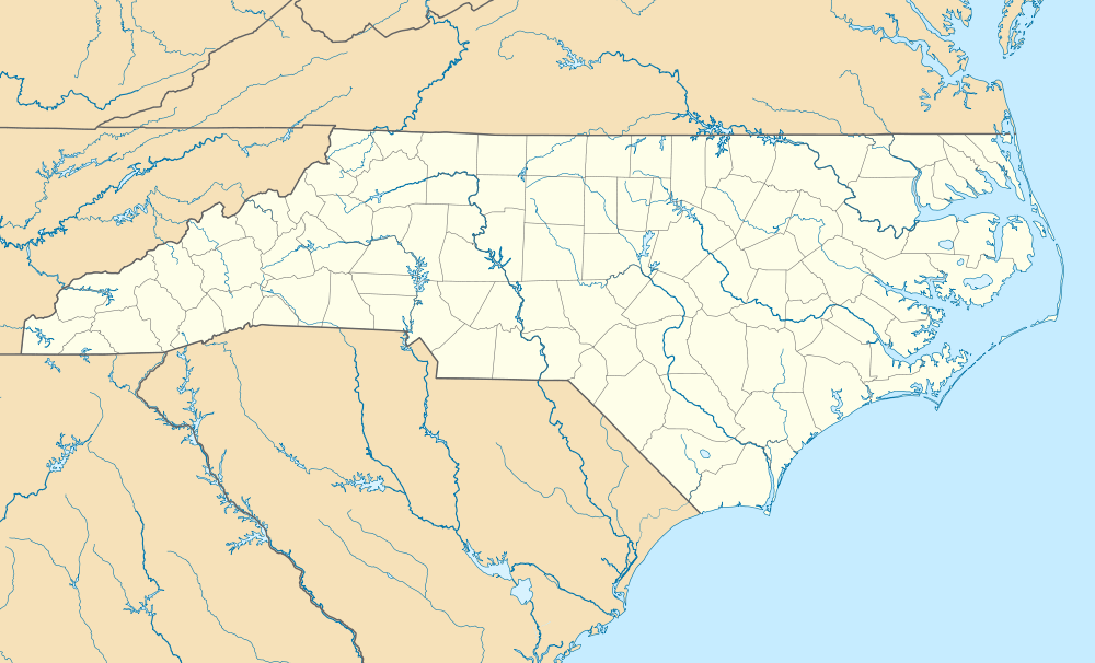 Asheboro Location of Asheboro, North Carolina  Asheboro Asheboro (the United States)  Asheboro Asheboro (North America) | |
| Coordinates: 35°42′55″N 79°48′47″W | |
| Country | United States |
| State | North Carolina |
| County | Randolph |
| Government | |
| • Mayor | David Smith |
| Area | |
| • Total | 15.4 sq mi (40.0 km2) |
| • Land | 15.3 sq mi (39.7 km2) |
| • Water | 0.1 sq mi (0.2 km2) |
| Elevation | 837 ft (255 m) |
| Population (2010) | |
| • Total | 25,012 |
| • Estimate (2019)[1] | 25,940 |
| • Density | 1,600/sq mi (630/km2) |
| Time zone | UTC−5 (Eastern (EST)) |
| • Summer (DST) | UTC−4 (EDT) |
| ZIP codes | 27203-27205 |
| Area code(s) | 336-743 |
| FIPS code | 37-02080[2] |
| GNIS feature ID | 1018863[3] |
| Website | www |
History
Asheboro was named after Samuel Ashe, the ninth governor of North Carolina (1795–1798), and became the county seat of Randolph County in 1796.[6] It was a small village in the 1800s, with a population of less than 200 through the Civil War; its main function was housing the county courthouse, and the town was most active when court was in session. Asheboro's population only began to grow significantly following its connection to railroads: the High Point, Randleman, Asheboro and Southern Railroad first served the city in 1889, followed by the Montgomery Railroad in 1896.[7]
Asheboro emerged as a textile production center in the 20th century with the opening of the Acme Hosiery Mills in 1909. After World War II, the city's manufacturing sector grew to include batteries, wires and food products. The city's main tourist attraction, the North Carolina Zoo, opened in 1979.[7]
Asheboro suffered from an economic downturn in the 2000s due to a decline in its traditional manufacturing industries amid increasing competition from overseas; the national news program 60 Minutes described it as a "dying town" in 2012.[8]
Historic buildings
The following buildings in Asheboro are listed on the National Register of Historic Places:[9][10][11][12]
- Acme-McCrary Hosiery Mills
- Asheboro Hosiery Mills and Cranford Furniture Company Complex
- Central School
- Wilson Kindley Farm and Kindley Mine
- Lewis-Thornburg Farm
- Mount Shepherd Pottery Site
- Randolph County Courthouse
- Sunset Theater
- Thayer Farm Site (31RD10)
Geography
Asheboro is located at 35°42′55″N 79°48′47″W (35.715211, -79.813001).[13]
According to the United States Census Bureau, the city has a total area of 15.4 square miles (40 km2), of which, 15.3 square miles (40 km2) of it is land and 0.1 square miles (0.26 km2) of it (0.58%) is water. Asheboro is known as the center point of NC. Although Asheboro is located in the gently rolling Piedmont plateau region of central North Carolina, far to the east of the Appalachian Mountains, the town and surrounding area are surprisingly hilly. The town lies within the Uwharrie Mountains, an ancient series of ridges and monadnocks which have been worn down by erosion to high hills. As such, Asheboro gives the impression of being in a more mountainous area than it actually is.
Climate
| Climate data for Asheboro, North Carolina | |||||||||||||
|---|---|---|---|---|---|---|---|---|---|---|---|---|---|
| Month | Jan | Feb | Mar | Apr | May | Jun | Jul | Aug | Sep | Oct | Nov | Dec | Year |
| Record high °F (°C) | 78 (26) |
82 (28) |
92 (33) |
93 (34) |
97 (36) |
103 (39) |
104 (40) |
105 (41) |
100 (38) |
96 (36) |
87 (31) |
79 (26) |
105 (41) |
| Average high °F (°C) | 49 (9) |
54 (12) |
62 (17) |
71 (22) |
78 (26) |
84 (29) |
88 (31) |
86 (30) |
80 (27) |
71 (22) |
62 (17) |
52 (11) |
70 (21) |
| Average low °F (°C) | 30 (−1) |
33 (1) |
40 (4) |
48 (9) |
56 (13) |
65 (18) |
69 (21) |
68 (20) |
61 (16) |
49 (9) |
40 (4) |
33 (1) |
49 (10) |
| Record low °F (°C) | −8 (−22) |
2 (−17) |
8 (−13) |
25 (−4) |
33 (1) |
39 (4) |
45 (7) |
46 (8) |
36 (2) |
21 (−6) |
10 (−12) |
−1 (−18) |
−8 (−22) |
| Average precipitation inches (mm) | 3.83 (97) |
3.78 (96) |
4.02 (102) |
3.64 (92) |
3.52 (89) |
3.90 (99) |
4.08 (104) |
4.17 (106) |
3.94 (100) |
3.68 (93) |
3.41 (87) |
3.27 (83) |
45.24 (1,148) |
| Source: The Weather Channel[14] | |||||||||||||
Demographics
| Historical population | |||
|---|---|---|---|
| Census | Pop. | %± | |
| 1850 | 176 | — | |
| 1870 | 182 | — | |
| 1880 | 299 | 64.3% | |
| 1890 | 510 | 70.6% | |
| 1900 | 992 | 94.5% | |
| 1910 | 1,865 | 88.0% | |
| 1920 | 2,559 | 37.2% | |
| 1930 | 5,021 | 96.2% | |
| 1940 | 6,981 | 39.0% | |
| 1950 | 7,701 | 10.3% | |
| 1960 | 9,449 | 22.7% | |
| 1970 | 10,797 | 14.3% | |
| 1980 | 15,252 | 41.3% | |
| 1990 | 16,362 | 7.3% | |
| 2000 | 21,672 | 32.5% | |
| 2010 | 25,012 | 15.4% | |
| Est. 2019 | 25,940 | [1] | 3.7% |
| U.S. Decennial Census[15] | |||
As of the census[2] of 2000, there were 21,672 people, 8,756 households, and 5,516 families residing in the city. The population density was 1,412.5 people per square mile (545.5/km2). There were 9,515 housing units at an average density of 620.1 per square mile (239.5/km2). The racial makeup of the city was 69.45% White, 12.08% African American, 0.51% Native American, 1.39% Asian, 0.01% Pacific Islander, 7.72% from other races, and 1.80% from two or more races. Hispanic or Latino of any race were 30.9% of the population.
There were 8,756 households, out of which 30.2% had children under the age of 18 living with them, 45.9% were married couples living together, 12.5% had a female householder with no husband present, and 37.0% were non-families. 31.6% of all households were made up of individuals, and 12.8% had someone living alone who was 65 years of age or older. The average household size was 2.40 and the average family size was 3.01.
In the city, the population was spread out, with 24.1% under the age of 18, 10.5% from 18 to 24, 30.7% from 25 to 44, 19.6% from 45 to 64, and 15.1% who were 65 years of age or older. The median age was 34 years. For every 100 females, there were 95.8 males. For every 100 females age 18 and over, there were 93.1 males.
Economy
Top employers
According to Asheboro's 2011 Comprehensive Annual Financial Report,[16] the top employers in the city were:
| # | Employer | # of Employees |
|---|---|---|
| 1 | Randolph Hospital | 1,224 |
| 2 | Klaussner | 927 |
| 3 | Teleflex | 774 |
| 4 | Walmart | 690 |
| 5 | Eveready Battery Company | 734 |
| 6 | Asheboro City Schools | 670 |
| 7 | Technimark | 650 |
| 8 | Acme-McCrary | 615 |
| 9 | City of Asheboro | 410 |
| 10 | Hyosung | 318 |
In October 2012 Hyosung USA announced the closure of the Asheboro wire plant and loss of 310 jobs. Built by Goodyear and acquired by Hyosung in 2011, the plant makes wires for use in car and truck tires.[17]
Black & Decker Corp was one of the main employers in the mid 1990s with one of its best product's line the sneak light that it sold millions in the late 1994. The plant employed about 1100 workers and it was one of the first three biggest employers in Randolph County [18]
Culture
Sports
- Asheboro is home to the Asheboro Copperheads of the Coastal Plain League, a collegiate summer baseball league. The Copperheads play at McCrary Park in Asheboro. The Copperheads began play for the 1999 season.
- Caraway Speedway, a Whelen Southern Modified Tour racing location. It is .455 mile asphalt oval that has seen famous stockcar drivers Dale Earnhardt, Richard Petty, and Kyle Petty grace its track.
Retail
Randolph Mall opened in 1982.
Transportation
Asheboro lies at the intersection of U.S. Route 220 and Interstate 73/Interstate 74, which connect it to Greensboro, U.S. Route 64, which connects it to Raleigh, and North Carolina Highway 49, which connects it to Charlotte.
Asheboro Regional Airport serves general aviation traffic to and from the city. The closest airport with scheduled passenger service is Piedmont Triad International Airport in Greensboro.
Education
Asheboro City Schools operates public schools serving the city.
Fayetteville Street Christian School, located in Asheboro, is the largest private school in Randolph County.[19]
In addition the Randolph County Schools has its headquarters in Asheboro.[20]
Notable people
- Sam Ard, 1983 and 1984 Nascar Busch Series Champion
- William Johnston Armfield, business executive and philanthropist
- Scott Bankhead, Major League Baseball and 1984 US Olympic Team pitcher[21]
- Chuck Bown, 1990 Nascar Busch Series Champion
- Lane Caudell, musician and actor. Starred in motion pictures, daytime television show Days Of Our Lives, and had recording contracts spanning two decades.
- Keith Crisco, Secretary of Commerce for North Carolina (2009-2013), primary candidate for U.S. Representative, Second District (2014).
- William Cicero Hammer, U.S. Congressional Representative Democrat 1921–1930
- Elizabeth Lail, actress known for her role as Anna in Once Upon a Time series
- Reynolds Price, novelist, essayist and educator, resident of the town in the 1930s and 1940s.[22]
- Julius Ramsay, Emmy-nominated television director and editor
- Jonathan Worth, North Carolina Governor from 1865 to 1868 during early Reconstruction[7]
- Andy Headen, Former linebacker of the New York Giants
References
- "Population and Housing Unit Estimates". Retrieved May 21, 2020.
- "U.S. Census website". United States Census Bureau. Retrieved 2008-01-31.
- "US Board on Geographic Names". United States Geological Survey. 2007-10-25. Retrieved 2008-01-31.
- "Find a County". National Association of Counties. Archived from the original on 2011-05-31. Retrieved 2011-06-07.
- NC Zoological Park Funding and Organization (PDF) Archived 2012-02-24 at the Wayback Machine Retrieved on 2010-10-08.
- Martin, Jonathan. "Randolph County (1779)". North Carolina History Project. Retrieved 2019-01-09.
- "History - City of Asheboro, NC". www.ci.asheboro.nc.us. Retrieved 2019-01-09.
- "The death and life of Asheboro, N.C." www.cbsnews.com. Retrieved 2019-01-09.
- "National Register Information System". National Register of Historic Places. National Park Service. July 9, 2010.
- "National Register of Historic Places Listings". Weekly List of Actions Taken on Properties: 8/18/14 through 8/23/14. National Park Service. 2014-08-29.
- "National Register of Historic Places Listings". Weekly List of Actions Taken on Properties:12/05/11 through 12/09/11. National Park Service. 2011-12-16.
- "National Register of Historic Places Listings". Weekly List of Actions Taken on Properties: 4/18/11 through 4/22/11. National Park Service. 2011-04-29.
- "US Gazetteer files: 2010, 2000, and 1990". United States Census Bureau. 2011-02-12. Retrieved 2011-04-23.
- "Asheboro, NC Monthly Weather Forecast - weather.com". The Weather Channel. Retrieved 20 August 2019.
- "Census of Population and Housing". Census.gov. Retrieved June 4, 2015.
- City of Asheboro CAFR Archived August 22, 2014, at the Wayback Machine
- "Archived copy". Archived from the original on 2012-11-07. Retrieved 2012-10-31.CS1 maint: archived copy as title (link)
- https://www.greensboro.com/black-decker-to-move-two-units-from-asheboro-most-of/article_af1f9bc3-d0e4-5fdb-a3bc-2093d961780e.html
- "."
- "RANDOLPH COUNTY SCHOOLS CENTRAL OFFICE DEPARTMENT DIRECTORY." Randolph County Schools. Retrieved on September 21, 2013. "Administrative Offices 2222-C S. Fayetteville Street Asheboro, NC 27205"
- "Scott Bankhead". baseball-reference.com. Retrieved 19 April 2014.
- http://www.ci.asheboro.nc.us/Newsletters/CenterPoint_Sep06.pdf Archived 2011-07-19 at the Wayback Machine. Retrieved on 2008-10-26.
External links
| Wikivoyage has a travel guide for Asheboro. |
- Official website
- Official Visitor Info for the Greater Asheboro Area
- Asheboro/Randolph County Chamber of Commerce
Municipalities and communities of Randolph County, North Carolina, United States | ||
|---|---|---|
| Cities |  | |
| Towns | ||
| Unincorporated communities | ||
| Footnotes | ‡This populated place also has portions in an adjacent county or counties | |


| Authority control |
|
|---|