Leland, North Carolina
Leland is a town in Brunswick County, North Carolina, United States. The population was 13,527 at the 2010 census,[5] up from 1,938 at the 2000 census. It is part of the Myrtle Beach Metropolitan Statistical Area.[6] A number of movies, such as Maximum Overdrive (1986), Domestic Disturbance (2001), and We're the Millers (2013) have been shot in or around Leland.
Leland, North Carolina | |
|---|---|
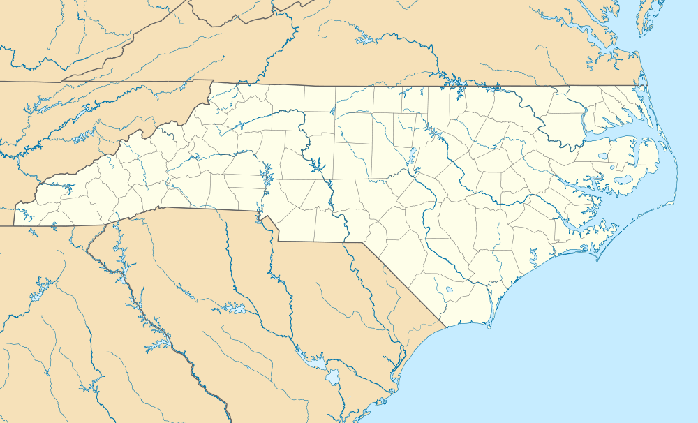 Leland Location within the state of North Carolina | |
| Coordinates: 34°14′11″N 78°1′11″W | |
| Country | United States |
| State | North Carolina |
| County | Brunswick |
| Government | |
| • Mayor | Brenda Bozeman[1] |
| Area | |
| • Total | 19.9 sq mi (51.5 km2) |
| • Land | 19.8 sq mi (51.2 km2) |
| • Water | 0.08 sq mi (0.2 km2) |
| Elevation | 16 ft (5 m) |
| Population (2010) | |
| • Total | 13,527 |
| • Estimate (2019)[2] | 23,544 |
| • Density | 680/sq mi (260/km2) |
| Time zone | UTC−5 (EST) |
| • Summer (DST) | UTC−4 (EDT) |
| ZIP Code | 28451 |
| Area code(s) | 910 |
| FIPS code | 37-37680[3] |
| GNIS feature ID | 0988344[4] |
| Website | www |
History
Leland was incorporated as a town in 1989.[7]
Geography
Leland is located at 34°14′11″N 78°1′11″W (34.236375, -78.019664) [8] in northern Brunswick County to the west of the Brunswick River and directly west of downtown Wilmington. Leland surrounds the town of Belville on three sides (to the north, west, and south).
According to the 2010 United States Census Bureau, the town of Leland has a total area of 19.9 square miles (51.5 km2), of which 19.8 square miles (51.2 km2) is land and 0.077 square miles (0.2 km2), or 0.46%, is water.[5]
Demographics
| Historical population | |||
|---|---|---|---|
| Census | Pop. | %± | |
| 1990 | 1,801 | — | |
| 2000 | 1,938 | 7.6% | |
| 2010 | 13,527 | 598.0% | |
| Est. 2019 | 23,544 | [2] | 74.1% |
| U.S. Decennial Census[9] | |||
At the 2000 census there were 1,938 people, 781 households, and 549 families living in the town. The population density was 483.8 people per square mile (186.6/km²). There were 871 housing units at an average density of 229.4 per square mile (88.5/km²). The racial makeup of the town was 77.71% White, 16.20% African American, 1.24% Native American, 0.21% Asian, 2.53% from other races, and 2.12% from two or more races. Hispanic or Latino of any race were 4.44%.[3]
Of the 781 households 30.3% had children under the age of 18 living with them, 52.6% were married couples living together, 12.3% had a female householder with no husband present, and 29.7% were non-families. 22.3% of households were one person and 7.4% were one person aged 65 or older. The average household size was 2.48 and the average family size was 2.85.
The age distribution was 24.6% under the age of 18, 8.5% from 18 to 24, 31.2% from 25 to 44, 25.1% from 45 to 64, and 10.6% 65 or older. The median age was 36 years. For every 100 females, there were 103.8 males. For every 100 females age 18 and over, there were 98.8 males.
The median household income was $32,574 and the median family income was $38,077. Males had a median income of $27,379 versus $22,961 for females. The per capita income for the town was $18,462. About 15.1% of families and 18.8% of the population were below the poverty line, including 28.2% of those under age 18 and 11.6% of those age 65 or over.
Public services
As of 2010, the Leland Police Department has over 30 trained officers.
Leland Fire/Rescue combination fire department. The department provides 24x7 fire suppression, heavy rescue, technical rescue, and water rescue services to the 53 mi2 fire district and surrounding areas. It has approximately 35 paid career staff and a roster of part-time and volunteer employees. The department has one station at 1004 Village Road, a station located at 1379 River rd, and a station under construction on Kay Todd rd which will cover the south side of town along with a large portion of Winnabow fire district ( a small volunteer district with a small budget and paid staff random hours during the week )
Brunswick County Emergency Services also provides emergency medical services to Leland and operates a paramedic level ambulance stationed in the Leland Industrial Park as well as an ambulance at the river rd fire station.
References
- "Town Council - Town of Leland". townofleland.com. Retrieved January 4, 2020.
- "Population and Housing Unit Estimates". Retrieved May 21, 2020.
- "U.S. Census website". United States Census Bureau. Retrieved 2008-01-31.
- "US Board on Geographic Names". United States Geological Survey. 2007-10-25. Retrieved 2008-01-31.
- "Geographic Identifiers: 2010 Demographic Profile Data (G001): Leland town, North Carolina". U.S. Census Bureau, American Factfinder. Archived from the original on February 12, 2020. Retrieved February 11, 2014.
- Gonzales, Jason. "Brunswick to remain in Myrtle Beach metro area". Wilmington Star News. Retrieved October 31, 2013.
- "Leland". Star-News. May 24, 1998. p. 41. Retrieved 1 November 2015.
- "US Gazetteer files: 2010, 2000, and 1990". United States Census Bureau. 2011-02-12. Retrieved 2011-04-23.
- "Census of Population and Housing". Census.gov. Retrieved June 4, 2015.
External links
- Town of Leland official website
- Leland tourism website
- Leland, North Carolina's Lifestyle Magazine
- Leland NC InsiderInfo.us Area Guide
Municipalities and communities of Brunswick County, North Carolina, United States | ||
|---|---|---|
| Cities |  | |
| Towns | ||
| Village | ||
| Townships |
| |
| Unincorporated communities | ||
| Authority control |
|
|---|