Sembium
| Sembium செம்பியம் Sembiam, Sembiyam | |
|---|---|
| Sub-Neighbourhood | |
 Sembium  Sembium  Sembium | |
| Coordinates: 13°07′25″N 80°14′32″E / 13.123616°N 80.242164°ECoordinates: 13°07′25″N 80°14′32″E / 13.123616°N 80.242164°E | |
| Country |
|
| State |
|
| District | Chennai |
| Metro | Chennai |
| Elevation | 5 m (16 ft) |
| Languages | |
| • Official | Tamil |
| Time zone | UTC+5:30 (IST) |
| PIN | 600011, 600082 |
| Telephone code | 044 |
| Planning agency | CMDA |
| City | Chennai |
| Lok Sabha constituency | North Chennai |
| Vidhan Sabha constituency | Kolathur |
| Civic agency | Chennai Corporation |
Sembium (Tamil: செம்பியம்), is a sub-neighbourhood of Perambur and a developed residential area in North Chennai, a metropolitan city in Tamil Nadu, India. Sembium was a municipality (Sembium-Ayanavaram municipality) until it was annexed by Chennai.
Location
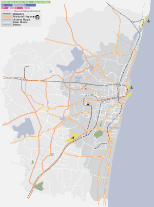
Sembium is located near Kolathur, Madhavaram and Perambur. It is well connected by train and bus transport. It is very close to Perambur Railway Station and Moolakadai Junction.
Directions From Sembium | |
|---|---|
Areas of Chennai | |
|---|---|
| North |
|
| West |
|
| Central |
|
| South |
|
| State symbols |
|
|---|---|
| Governance |
|
| Topics | |
| Districts |
|
| Major cities | |
This article is issued from
Wikipedia.
The text is licensed under Creative Commons - Attribution - Sharealike.
Additional terms may apply for the media files.