Ayappakkam
| Ayappakkam "அயப்பாக்கம்" Ayapakkam | |
|---|---|
| Neighbourhood | |
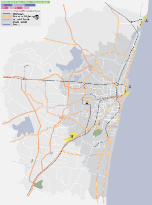 Ayappakkam Location in Tamil Nadu, India  Ayappakkam Ayappakkam (Tamil Nadu)  Ayappakkam Ayappakkam (India) | |
| Coordinates: 13°06′16″N 80°07′58″E / 13.10444°N 80.13278°ECoordinates: 13°06′16″N 80°07′58″E / 13.10444°N 80.13278°E | |
| Country |
|
| State | Tamil Nadu |
| District | Thiruvallur |
| Taluka | Ambattur taluk |
| Population (2011) | |
| • Total | 28,630 |
| Languages | |
| • Official | Tamil |
| Time zone | UTC+5:30 (IST) |
Ayappakkam is a census town of Greater Chennai in Thiruvallur district in the Indian state of Tamil Nadu. It is one of the fastest developing residential area in Chennai.
Sandwiched between Ambattur Industrial Estate and Thiruverkadu, Ayapakkam developed as a residential area, since 1990, after Tamil Nadu Housing Board quarters came up. Unlike Ambattur that houses more industrial units, Ayapakkam is predominantly a residential area and it connects with the city, via Anna Nagar and Maduravoyal, through Poonamallee High Road and Chennai-Tiruvallur High (CTH) Road.
With many sources of water around it, like Ayapakkam lake, Paruthipattu lake and Ambattur lake, Ayapakkam has good ground water. Many water tankers fill water from Ayapakkam for supply to other locations.
Ayapakkam is very close to the Chennai Bypass road. The location advantages include being closer to India Land IT and Ambit IT park, as well as having the Vanagaram Apollo hospital and Ramachandra Hospital in its vicinity.
Demographics
In the 2011 census, Ayappakkam had a population of 28,630.[1]
References
- ↑ "NPR Report: Tamil Nadu: Thiruvallur: Ambattur". National Population Register, Ministry of Home Affairs, Government of India. Archived from the original on 25 April 2013.