Kilpauk
| Kilpauk | |
|---|---|
| neighbourhood | |
 Kilpauk  Kilpauk  Kilpauk | |
| Coordinates: 13°05′08″N 80°14′16″E / 13.0856°N 80.2379°ECoordinates: 13°05′08″N 80°14′16″E / 13.0856°N 80.2379°E | |
| Country | India |
| State | Tamil Nadu |
| District | Chennai District |
| Metro | Chennai |
| Government | |
| • Body | Chennai Corporation |
| Languages | |
| • Official | Tamil |
| Time zone | UTC+5:30 (IST) |
| Planning agency | CMDA |
| Civic agency | Chennai Corporation |
| Website |
www |
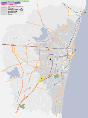
Kilpauk is a semi residential area located in Chennai, the capital city of the state of Tamil Nadu, India. The distance from Chennai's city center to Kilpauk is about 6 km. The region is situated off the Poonamallee High Road in the west. Adjacent areas of Kilpauk include Chetpet, Egmore, Anna Nagar and Purasawalkam.
The nearest railway station for Kilpauk is the one at Chetpet. This railway station lies to the south of Kilpauk and not more than a kilometre away. The Chennai Airport is about 18 km from Kilpauk.
This place was a cantonment area for British troops before India's independence.
It has a water-treatment plant.
Localities
- Kilpauk Garden
- Kelly's Corner
- Aspiran Garden
- Secretariat Colony
Educational Institutions
- Seth P D Hinduja Sindhi Model Senior Secondary School
- C S I Bain school
- Bhavan's Rajaji Vidyashram
- Chinmaya Vidyalaya
- Kola Saraswati and Rukmani Vidyalaya changed as Ramachandra.
Kilpauk is also well known for Engineering College head offices, including Rajalakshmi Institutions and Sree Sastha Institute of Engineering and Technology.
