Surapet
| Surapet | |
|---|---|
| Neighbourhood | |
 Surapet  Surapet  Surapet | |
| Coordinates: 13°08′37″N 80°11′27″E / 13.14361°N 80.19083°ECoordinates: 13°08′37″N 80°11′27″E / 13.14361°N 80.19083°E | |
| Country |
|
| State | Tamil Nadu |
| District | Chennai district |
| Languages | |
| • Official | Tamil |
| Time zone | UTC+5:30 (IST) |
| Vehicle registration | TN-18 |
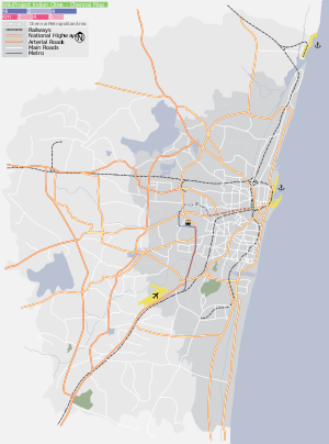
Surapet (alias Surapattu, Surapedu) is a neighbourhood located in Chennai between Ambattur and Puzhal.
History of Surapet
This area, once a separate panchayat that comes under Puzhal Panchayat, now comes under Chennai corporation, numbered as "24th ward" and it belongs to the Madhavaram constituency.
About 200 years ago people from a village of same name Surapet near Sholavaram migrated to this village due to poverty in their home place and named the same name to this village also.
Localities in Surapet
- Annai Indira Nagar
- Bharathidasan Nagar
- Sivaprakasam Nagar
- Madhura Mettur
- Shanmugapuram
- Murugambedu
- JP Nagar
- JP Nagar Annexe
- DG Nagar
- Kalaivani Nagar
- Ezhil Nagar
- Arul Nagar
- Velammal Nagar
- Britania Nagar
This article is issued from
Wikipedia.
The text is licensed under Creative Commons - Attribution - Sharealike.
Additional terms may apply for the media files.