Fajoles
| Fajoles | |
|---|---|
| Commune | |
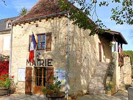 The town hall in Fajoles | |
 Fajoles Location within Occitanie region  Fajoles | |
| Coordinates: 44°48′14″N 1°23′50″E / 44.8039°N 1.3972°ECoordinates: 44°48′14″N 1°23′50″E / 44.8039°N 1.3972°E | |
| Country | France |
| Region | Occitanie |
| Department | Lot |
| Arrondissement | Gourdon |
| Canton | Souillac |
| Intercommunality | Haute Bouriane |
| Government | |
| • Mayor (2001–2008) | Laurent Rougières |
| Area1 | 8.98 km2 (3.47 sq mi) |
| Population (1999)2 | 211 |
| • Density | 23/km2 (61/sq mi) |
| Time zone | UTC+1 (CET) |
| • Summer (DST) | UTC+2 (CEST) |
| INSEE/Postal code | 46098 /46300 |
| Elevation | 118–213 m (387–699 ft) |
|
1 French Land Register data, which excludes lakes, ponds, glaciers > 1 km2 (0.386 sq mi or 247 acres) and river estuaries. 2 Population without double counting: residents of multiple communes (e.g., students and military personnel) only counted once. | |
Fajoles is a commune in the Lot department in south-western France.
See also
| Wikimedia Commons has media related to Fajoles. |
This article is issued from
Wikipedia.
The text is licensed under Creative Commons - Attribution - Sharealike.
Additional terms may apply for the media files.