Traders Point Hunt Rural Historic District
Traders Point Hunt Rural Historic District is a national historic district located at Eagle Township, Boone County, Indiana. The district encompasses 34 contributing buildings, 18 contributing sites, and 7 contributing structures in a rural area near Zionsville. The district is characterized by the agricultural landscape, farmsteads and estates, recreational landscapes, transportation features including roads and bridges, and historic cemeteries.[2]
Traders Point Hunt Rural Historic District | |
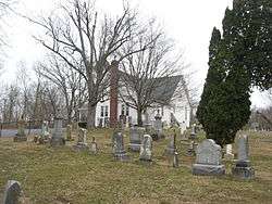 Salem United Methodist Church and cemetery, Traders Point Hunt Rural Historic District, March 2011 | |
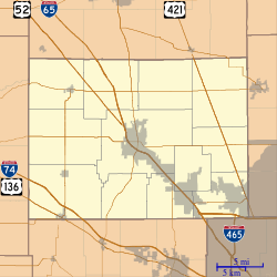 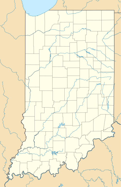  | |
| Location | Roughly bounded by State Road 334, Interstate 865, Old Hunt Club Rd., and County Road 850E, southwest of Zionsville, Eagle Township, Boone County, Indiana |
|---|---|
| Coordinates | 39°56′25″N 86°19′17″W |
| Area | 709 acres (287 ha) |
| Architectural style | Greek Revival, Ranch |
| MPS | Eagle Township and Pike Township, Indiana MPS |
| NRHP reference No. | 09000421[1] |
| Added to NRHP | June 17, 2009 |
It was listed on the National Register of Historic Places in 2009.[1]
References
- "National Register Information System". National Register of Historic Places. National Park Service. July 9, 2010.
- "Indiana State Historic Architectural and Archaeological Research Database (SHAARD)" (Searchable database). Department of Natural Resources, Division of Historic Preservation and Archaeology. Retrieved 2015-07-01. Note: This includes Camille B. Fife (January 2008). "National Register of Historic Places Inventory Nomination Form: Traders Point Hunt Rural Historic District" (PDF). Retrieved 2015-07-01. and Accompanying photographs.

This article is issued from Wikipedia. The text is licensed under Creative Commons - Attribution - Sharealike. Additional terms may apply for the media files.