Pourquoi Pas Glacier
Pourquoi Pas Glacier (66°15′S 135°55′E) is a glacier 4 nautical miles (7 km) wide and 15 nautical miles (28 km) long, flowing north-northwest from the continental ice and terminating in a prominent tongue 9 nautical miles (17 km) west-northwest of Pourquoi Pas Point. Delineated by French cartographers from air photos taken by U.S. Navy Operation Highjump, 1946–47. Named in 1952 by the French Antarctic Sub-committee after the Pourquoi-Pas?, polar ship of the French Antarctic Expedition under Charcot, 1908–10, later used by Charcot in expeditions to Greenland.
| Pourquoi Pas Glacier | |
|---|---|
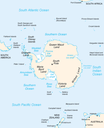 Map of Antarctica, with Wilkes Land slightly to the right | |
 Location of Pourquoi Pas Glacier in Antarctica | |
| Location | Wilkes Land |
| Coordinates | 66°15′00″S 135°55′00″E |
| Length | 15 nautical miles (28 km; 17 mi) |
| Width | 4 nautical miles (7.4 km; 4.6 mi) |
| Thickness | unknown |
| Terminus | Pourquoi Pas Point |
| Status | unknown |
Pourquoi Pas Glacier Tongue (66°10′S 136°0′E) is a prominent glacier tongue 4 nautical miles (7 km) wide and 6 nautical miles (11 km) long, extending seaward from Pourquoi Pas Glacier. Delineated from air photos taken by U.S. Navy Operation Highjump, 1946–47, and named for the French polar ship Pourquoi-Pas?.
References


| Types |
| ||||||
|---|---|---|---|---|---|---|---|
| Anatomy |
| ||||||
| Processes | |||||||
| Measurements | |||||||
| Volcanic relations | |||||||
| Landforms |
| ||||||
| |||||||