Barré Glacier
Barré Glacier is a channel glacier about 5 nautical miles (9 km) wide and 5 nautical miles long, flowing north from the continental ice to the coast close east of Cape Pepin. It was delineated from air photos taken by U.S. Navy Operation Highjump, 1946–47, and was named by the Advisory Committee on Antarctic Names for Michel Barré, leader of the French Antarctic Expedition wintering party of 1951–52, whose party extended reconnaissance of the coastal features as far west as this glacier.[1]
| Barré Glacier | |
|---|---|
 Location of Adelie Land in Antarctica | |
 Location of Barré Glacier in Antarctica | |
| Location | East Antarctica |
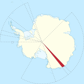
| Coordinates | 66°35′S 138°40′E |
| Length | 9 km (5.6 mi) |
| Thickness | unknown |
| Terminus | Cape Pepin |
| Status | unknown |
References
- "Barré Glacier". Geographic Names Information System. United States Geological Survey. Retrieved 2011-05-19.
![]()
| Types |
| ||||||
|---|---|---|---|---|---|---|---|
| Anatomy |
| ||||||
| Processes | |||||||
| Measurements | |||||||
| Volcanic relations | |||||||
| Landforms |
| ||||||
| |||||||
Glaciers of Adélie Land | |
|---|---|
This article is issued from Wikipedia. The text is licensed under Creative Commons - Attribution - Sharealike. Additional terms may apply for the media files.