Bellisime Glacier
Bellisime Glacier (72°19′S 99°53′W) is a glacier about 4 nautical miles (7 km) long flowing south from Thurston Island east of Myers Glacier. It was named by the Advisory Committee on Antarctic Names after Lynda B. Bellisime of the United States Geological Survey (USGS), Flagstaff, Arizona, part of the USGS team that compiled the 1:5,000,000-scale Advanced Very High Resolution Radiometer maps of Antarctica and the 1:250,000-scale Landsat TM image maps of the Siple Coast area in the 1990s.[1]
| Bellisime Glacier | |
|---|---|
 Map of Thurston Island | |
 Location of Bellisime Glacier in Antarctica | |
| Location | Ellsworth Land |
| Coordinates | 72°19′S 99°53′W |
| Length | 4 nmi (7 km; 5 mi) |
| Thickness | unknown |
| Terminus | east of Myers Glacier |
| Status | unknown |
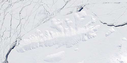
Satellite image of Thurston Island.
Maps
References
- "Bellisime Glacier". Geographic Names Information System. United States Geological Survey. Retrieved 2011-06-01.
- "Thurston Island - Jones Mountains | Polar Geospatial Center". www.pgc.umn.edu. Archived from the original on 17 November 2015. Retrieved 3 October 2016.
- Survey, David Herbert, British Antarctic. "Antarctic Digital Database". www.add.scar.org. Retrieved 3 October 2016.

| Types |
| ||||||
|---|---|---|---|---|---|---|---|
| Anatomy |
| ||||||
| Processes | |||||||
| Measurements | |||||||
| Volcanic relations | |||||||
| Landforms |
| ||||||
| |||||||
This article is issued from Wikipedia. The text is licensed under Creative Commons - Attribution - Sharealike. Additional terms may apply for the media files.