Flask Glacier
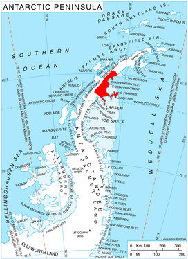
Flask Glacier (65°47′S 62°25′W), is a gently-sloping glacier, 25 nautical miles (46 km; 29 mi) long, flowing east from Bruce Plateau to enter Scar Inlet between Daggoo Peak and Spouter Peak in Graham Land, Antarctica. The lower reaches of this glacier were surveyed and photographed by the Falklands Islands Dependencies Survey (FIDS) in 1947. The entire glacier was photographed by the Falkland Islands and Dependencies Aerial Survey Expedition in 1955–56, and mapped by the FIDS in 1957. It was named by the UK Antarctic Place-names Committee after the third mate on the Pequod in Herman Melville's Moby-Dick; or, The White Whale.[1][2]
| Flask Glacier | |
|---|---|
 Location of Oscar II Coast on Antarctic Peninsula | |
 Location of Flask Glacier in Antarctica | |
| Location | Graham Land |
| Coordinates | 65°47′S 62°25′W |
| Length | 25 nautical miles (46 km; 29 mi) |
| Thickness | unknown |
| Terminus | Scar Inlet |
| Status | unknown |
Tributary glaciers
Further reading
External links
- Flask Glacier on USGS website
- Flask Glacier on AADC website
- Flask Glacier on SCAR website
References
- "Flask Glacier". Geographic Names Information System. United States Geological Survey. Retrieved 2012-03-27.
- "Flask Glacier". Gna-GeographicNamesOfTheAntarctic1stEdition1981_djvu. p. 672. Retrieved 2012-03-27.
![]()