De Haven Glacier
De Haven Glacier (67°3′S 127°32′E) is a broad glacier flowing to the southwest corner of Porpoise Bay. It was delineated by G.D. Blodgett (1955) from aerial photographs taken by U.S. Navy Operation Highjump (1946–47), and was named by the Advisory Committee on Antarctic Names for Edwin De Haven, Acting Master on the sloop Vincennes during the United States Exploring Expedition (1838–42) under Lieutenant Charles Wilkes.
| De Haven Glacier | |
|---|---|
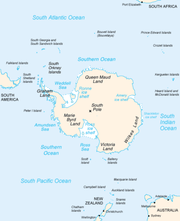 Map of Antarctica, with Wilkes Land slightly to the right | |
 Location of De Haven Glacier in Antarctica | |
| Location | Wilkes Land |
| Coordinates | 67°03′00″S 127°32′00″E |
| Thickness | unknown |
| Terminus | Porpoise Bay |
| Status | unknown |
References

| Types |
| ||||||
|---|---|---|---|---|---|---|---|
| Anatomy |
| ||||||
| Processes | |||||||
| Measurements | |||||||
| Volcanic relations | |||||||
| Landforms |
| ||||||
| |||||||
This article is issued from Wikipedia. The text is licensed under Creative Commons - Attribution - Sharealike. Additional terms may apply for the media files.