Malorad Glacier
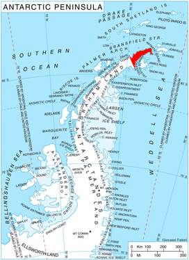
Malorad Glacier (Bulgarian: ледник Малорад, romanized: lednik Malorad, IPA: [ˈlɛdnik ˈmaɫorɐt]) is the 14 km long and 10.5 km wide glacier on Trinity Peninsula, Antarctic Peninsula. Situated north of Russell West Glacier, and bounded by Marescot Ridge to the northeast, Louis-Philippe Plateau to the southeast, Srednogorie Heights to the south and Hanson Hill to the southwest. Draining northwestwards to enter Bransfield Strait east of Cape Roquemaurel and west of Thanaron Point.
| Malorad Glacier | |
|---|---|
 Location of Trinity Peninsula in the Antarctic Peninsula | |
 Location of Malorad in Antarctica | |
| Location | Trinity Peninsula |
| Coordinates | 63°34′S 58°43′W |
| Length | 7 nmi (13 km; 8 mi) |
| Width | 5 nmi (9 km; 6 mi) |
| Thickness | unknown |
| Terminus | Bransfield Strait |
| Status | unknown |
The glacier is named after the settlement of Malorad in northwestern Bulgaria.
Location
Malorad Glacier is centred at 63°34′00″S 58°43′00″W. German-British mapping in 1996.
Maps
- Trinity Peninsula. Scale 1:250000 topographic map No. 5697. Institut für Angewandte Geodäsie and British Antarctic Survey, 1996.
- Antarctic Digital Database (ADD). Scale 1:250000 topographic map of Antarctica. Scientific Committee on Antarctic Research (SCAR), 1993–2016.
References
- Bulgarian Antarctic Gazetteer. Antarctic Place-names Commission. (details in Bulgarian, basic data in English)
- Malorad Glacier SCAR Composite Antarctic Gazetteer
External links
- Malorad Glacier. Copernix satellite image
This article includes information from the Antarctic Place-names Commission of Bulgaria which is used with permission.
| Types |
| ||||||
|---|---|---|---|---|---|---|---|
| Anatomy |
| ||||||
| Processes | |||||||
| Measurements | |||||||
| Volcanic relations | |||||||
| Landforms |
| ||||||
| |||||||