Myers Glacier
Myers Glacier (72°16′S 100°7′W) is a valley glacier about 7 nautical miles (13 km; 8.1 mi) long, flowing southwest from Mount Noxon on Thurston Island to Abbot Ice Shelf in Peacock Sound. Delineated from aerial photographs taken by U.S. Navy Squadron VX-6 in January 1960. Named by Advisory Committee on Antarctic Names (US-ACAN) for Lieutenant (j.g.) Dale P. Myers, U.S. Navy, helicopter pilot aboard USS Burton Island who made exploratory flights to Thurston Island in February 1960.
| Myers Glacier | |
|---|---|
 Map of Thurston Island | |
 Location of Myers Glacier in Antarctica | |
| Location | Ellsworth Land |
| Coordinates | 72°16′00″S 100°07′00″W |
| Length | 7 nautical miles (13 km; 8.1 mi) |
| Thickness | unknown |
| Terminus | Peacock Sound |
| Status | unknown |
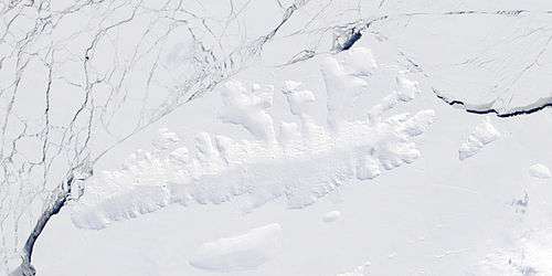
Satellite image of Thurston Island.
Maps
- Thurston Island – Jones Mountains. 1:500000 Antarctica Sketch Map. US Geological Survey, 1967.
- Antarctic Digital Database (ADD). Scale 1:250000 topographic map of Antarctica. Scientific Committee on Antarctic Research (SCAR), 1993–2016.
References


| Types |
| ||||||
|---|---|---|---|---|---|---|---|
| Anatomy |
| ||||||
| Processes | |||||||
| Measurements | |||||||
| Volcanic relations | |||||||
| Landforms |
| ||||||
| |||||||
This article is issued from Wikipedia. The text is licensed under Creative Commons - Attribution - Sharealike. Additional terms may apply for the media files.