Zélée Glacier
Zélée Glacier (66°52′S 141°10′E) is a glacier about 6 kilometres (3 nmi) wide and 11 kilometres (6 nmi) long, flowing north-northwest from the continental ice along the west side of Lacroix Nunatak and terminating in a prominent tongue at the west side of Port Martin. Probably first sighted in 1840 by the French expedition under Captain Jules Dumont d'Urville, although no glaciers were noted on d'Urville's chart of this coast. Photographed from the air by U.S. Navy Operation Highjump, 1946–47. Charted by the French Antarctic Expedition under Liotard, 1949–51, and named for the Zélée, corvette which accompanied d'Urville's flagship, the Astrolabe.
| Zélée Glacier | |
|---|---|
 Location of Adelie Land in Antarctica | |
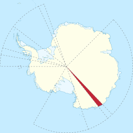
 Location of Zélée Glacier in Antarctica | |
| Location | Adélie Land |
| Coordinates | 66°52′S 141°10′E |
| Length | 6 nmi (11 km; 7 mi) |
| Width | 3 nmi (6 km; 3 mi) |
| Thickness | unknown |
| Status | unknown |
Associated with it is the Zélée Glacier Tongue (66°47′S 141°10′E), a glacier tongue about 4 kilometres (2 nmi) wide and 13 kilometres (7 nmi) long which extends seaward from Zélée Glacier. Delineated from air photos taken by U.S. Navy Operation Highjump, 1946–47, and named for the French corvette Zélée.[1]
References
- "Liotard Glacier, Antarctica". Geographical Names. Retrieved 24 January 2018.
