Remington Glacier
Remington Glacier is a steep glacier about 7 nautical miles (13 km; 8.1 mi) long in Doyran Heights in the Sentinel Range of Ellsworth Mountains, Antarctica. It rises just north of McPherson Peak and flows east-southeast to debouch between the terminus of Hough Glacier and Johnson Spur.
| Reminghton Glacier | |
|---|---|
 Location of Sentinel Range in Western Antarctica | |
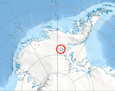
 Location of Remington Glacier in Antarctica | |
| Location | Ellsworth Land |
| Coordinates | 78°34′00″S 84°18′00″W |
| Length | 7 nautical miles (13 km; 8.1 mi) |
| Thickness | unknown |
| Terminus | Hough Glacier and Johnson Spur |
| Status | unknown |

Central and southern Sentinel Range map
Discovered by U.S. Navy Squadron VX-6 on photographic flights of December 14–15, 1959, and mapped by United States Geological Survey (USGS) from these photos.
Named by Advisory Committee on Antarctic Names (US-ACAN) for Edward W. Remington, glaciologist at the South Pole Station during the IGY in 1957.
Maps
- Vinson Massif. Scale 1:250 000 topographic map. Reston, Virginia: US Geological Survey, 1988.
- Antarctic Digital Database (ADD). Scale 1:250000 topographic map of Antarctica. Scientific Committee on Antarctic Research (SCAR). Since 1993, regularly upgraded and updated.
References
- Vinson Massif. Scale 1:250 000 topographic map. Reston, Virginia: US Geological Survey, 1988.


| Types |
| ||||||
|---|---|---|---|---|---|---|---|
| Anatomy |
| ||||||
| Processes | |||||||
| Measurements | |||||||
| Volcanic relations | |||||||
| Landforms |
| ||||||
| |||||||
This article is issued from Wikipedia. The text is licensed under Creative Commons - Attribution - Sharealike. Additional terms may apply for the media files.