Peterson Glacier
Peterson Glacier is a glacier flowing west into Penney Bay opposite Herring Island in the Windmill Islands. Mapped from aerial photographs taken by U.S. Navy (USN) OpHjp, 1946–47, and named for Louie N. Peterson, radio operator and recorder with the U.S. Navy (USN) OpWml parties which established astronomical control stations along Wilhelm II, Knox and Budd Coasts during January–February 1948.[1]
| Peterson Glacier | |
|---|---|
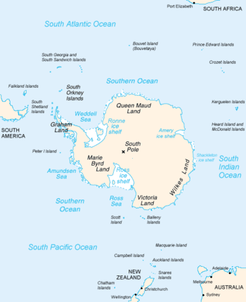 Map of Antarctica, with Wilkes Land slightly to the right | |
 Location of Peterson Glacier in Antarctica | |
| Location | Wilkes Land |
| Coordinates | 66°25′00″S 110°44′00″E |
| Thickness | unknown |
| Terminus | Penney Bay |
| Status | unknown |
References
- "Peterson Glacier". Geographic Names Information System. United States Geological Survey. Retrieved 2010-08-10.
| Types |
| ||||||
|---|---|---|---|---|---|---|---|
| Anatomy |
| ||||||
| Processes | |||||||
| Measurements | |||||||
| Volcanic relations | |||||||
| Landforms |
| ||||||
| |||||||
This article is issued from Wikipedia. The text is licensed under Creative Commons - Attribution - Sharealike. Additional terms may apply for the media files.