Isbrecht Glacier
Isbrecht Glacier (72°14′S 100°46′W) is a small glacier flowing south from Thurston Island in Antarctica between Cox Glacier and Hale Glacier. It was named by the Advisory Committee on Antarctic Names after JoAnn Isbrecht of the United States Geological Survey (USGS), Flagstaff, Arizona, a satellite image processing specialist who was part of the USGS team that compiled the 1:5,000,000-scale Advanced Very High Resolution Radiometer maps of Antarctica and the 1:250,000-scale Landsat image maps of the Siple Coast area in the 1990s.[1]
| Isbrecht Glacier | |
|---|---|
 Map of Thurston Island | |
 Location of Isbrecht Glacier in Antarctica | |
| Type | tributary |
| Location | Ellsworth Land |
| Coordinates | 72°14′S 100°46′W |
| Thickness | unknown |
| Terminus | Cox Glacier |
| Status | unknown |
Maps
- Thurston Island – Jones Mountains. 1:500000 Antarctica Sketch Map. US Geological Survey, 1967.
- Antarctic Digital Database (ADD). Scale 1:250000 topographic map of Antarctica. Scientific Committee on Antarctic Research (SCAR). Since 1993, regularly upgraded and updated.
References
- "Isbrecht Glacier". Geographic Names Information System. United States Geological Survey. Retrieved 2012-07-10.

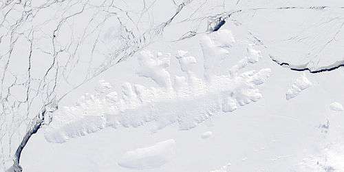
Satellite image of Thurston Island.
| Types |
| ||||||
|---|---|---|---|---|---|---|---|
| Anatomy |
| ||||||
| Processes | |||||||
| Measurements | |||||||
| Volcanic relations | |||||||
| Landforms |
| ||||||
| |||||||
This article is issued from Wikipedia. The text is licensed under Creative Commons - Attribution - Sharealike. Additional terms may apply for the media files.