DuBeau Glacier
DuBeau Glacier (66°23′S 106°27′E) is a channel glacier flowing to the Antarctic coast 18 nautical miles (33 km) west of Merritt Island. It was mapped in 1955 by G.D. Blodgett from air photos taken by U.S. Navy Operation Highjump in 1947, and was named by the Advisory Committee on Antarctic Names for Earl P. DuBeau, a photo interpreter with U.S. Navy Operation Windmill (1947–48), who assisted in establishing astronomical control stations along Queen Mary Coast, Knox Coast and Budd Coast.[1]
| DuBeau Glacier | |
|---|---|
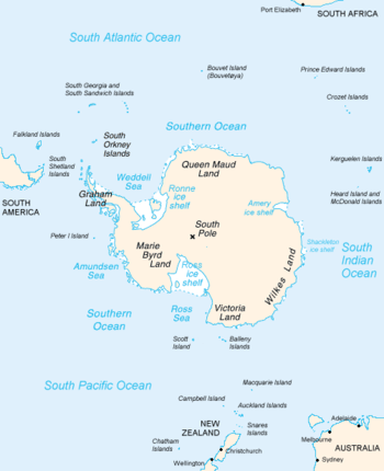 Map of Antarctica, with Wilkes Land slightly to the right | |
 Location of DuBeau Glacier in Antarctica | |
| Type | channel glacier |
| Location | Wilkes Land |
| Coordinates | 65°30′00″S 135°00′00″E |
| Length | 18 nautical miles (33 km; 21 mi) |
| Thickness | unknown |
| Status | unknown |
References
- "DuBeau Glacier". Geographic Names Information System. United States Geological Survey. Retrieved 2012-02-01.

| Types |
| ||||||
|---|---|---|---|---|---|---|---|
| Anatomy |
| ||||||
| Processes | |||||||
| Measurements | |||||||
| Volcanic relations | |||||||
| Landforms |
| ||||||
| |||||||
This article is issued from Wikipedia. The text is licensed under Creative Commons - Attribution - Sharealike. Additional terms may apply for the media files.